
Distance between  Tubberclair and
  Flagmount
47.75 mi Straight Distance
66.11 mi Driving Distance
1 hour 35 mins Estimated Driving Time
The straight distance between Tubberclair (Westmeath) and Flagmount (Clare) is 47.75 mi, but the driving distance is 66.11 mi.
It takes 1 hour 35 mins to go from Tubberclair to Flagmount.
Driving directions from Tubberclair to Flagmount
Distance in kilometers
Straight distance: 76.84 km. Route distance: 106.37 km
Tubberclair, Ireland
Latitude: 53.4923 // Longitude: -7.85659
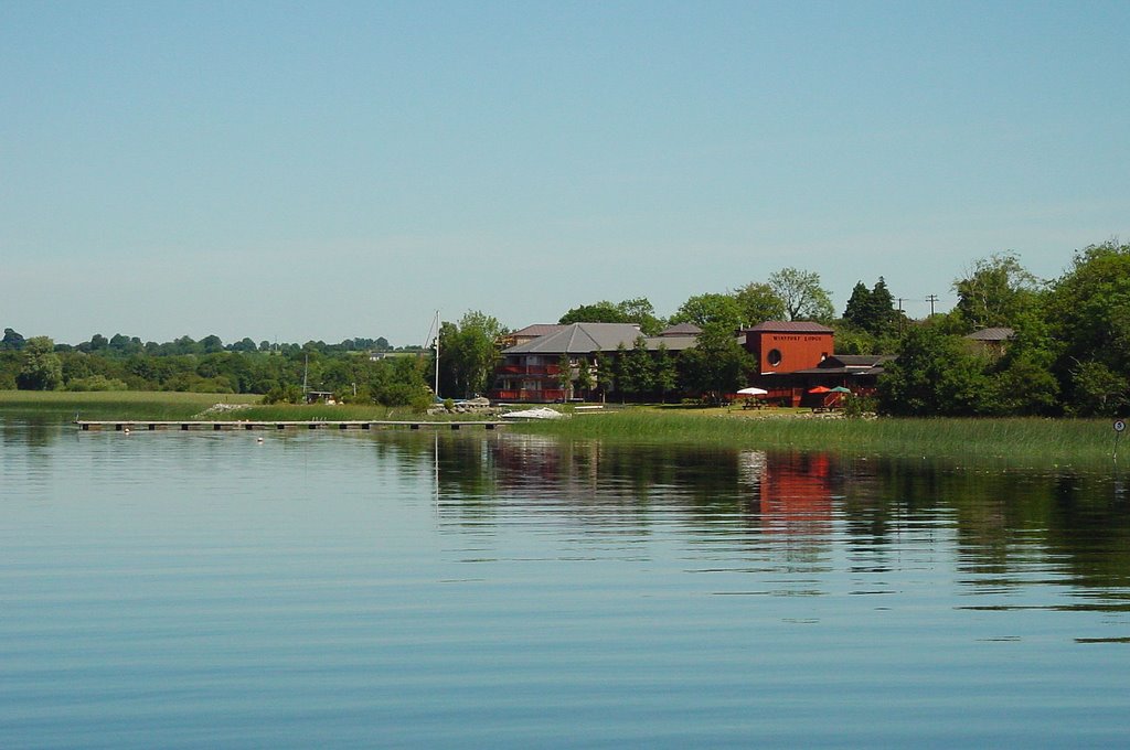
Photos of Tubberclair


Tubberclair Weather

Forecast: Light rain
Temperature: 11.2°
Humidity: 88%
Sun info not available
Flagmount, Ireland
Latitude: 52.9887 // Longitude: -8.64761
Photos of Flagmount

")


")
Flagmount Weather

Forecast: Overcast clouds
Temperature: 11.0°
Humidity: 84%
Sun info not available


