
Distance between  Toomevara and
  Raphoe
140.96 mi Straight Distance
172.70 mi Driving Distance
4 hours 6 mins Estimated Driving Time
The straight distance between Toomevara (Tipperary) and Raphoe (Donegal) is 140.96 mi, but the driving distance is 172.70 mi.
It takes to go from Toomevara to Raphoe.
Driving directions from Toomevara to Raphoe
Distance in kilometers
Straight distance: 226.81 km. Route distance: 277.88 km
Toomevara, Ireland
Latitude: 52.85 // Longitude: -8.03611
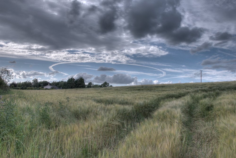
Photos of Toomevara


Toomevara Weather

Forecast: Light rain
Temperature: 8.1°
Humidity: 94%
Current time: 12:00 AM
Sunrise: 07:36 AM
Sunset: 05:55 PM
Raphoe, Ireland
Latitude: 54.8739 // Longitude: -7.59944
Photos of Raphoe


Raphoe Weather

Forecast: Overcast clouds
Temperature: 6.3°
Humidity: 91%
Current time: 02:08 PM
Sunrise: 07:38 AM
Sunset: 05:49 PM


