
Distance between  Strade and
  Newcastle
139.05 mi Straight Distance
162.27 mi Driving Distance
3 hours 20 mins Estimated Driving Time
The straight distance between Strade (Mayo) and Newcastle (Wicklow) is 139.05 mi, but the driving distance is 162.27 mi.
It takes 3 hours 20 mins to go from Strade to Newcastle.
Driving directions from Strade to Newcastle
Distance in kilometers
Straight distance: 223.73 km. Route distance: 261.09 km
Strade, Ireland
Latitude: 53.9211 // Longitude: -9.13077
Photos of Strade


Strade Weather

Forecast: Clear sky
Temperature: 18.0°
Humidity: 40%
Sun info not available
Newcastle, Ireland
Latitude: 53.0711 // Longitude: -6.06384
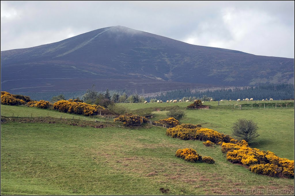
Photos of Newcastle


Newcastle Weather
Forecast: Clear sky
Temperature: 18.0°
Humidity: 40%
Current time: 02:50 AM
Sunrise: 06:53 AM
Sunset: 06:16 PM


