
Distance between  Stonetown and
  Bruff
Bruff
86.48 mi Straight Distance
109.30 mi Driving Distance
2 hours 38 mins Estimated Driving Time
The straight distance between Stonetown (Roscommon) and Bruff (Limerick) is 86.48 mi, but the driving distance is 109.30 mi.
It takes to go from Stonetown to Bruff.
Driving directions from Stonetown to Bruff
Distance in kilometers
Straight distance: 139.14 km. Route distance: 175.86 km
Stonetown, Ireland
Latitude: 53.7025 // Longitude: -8.10708
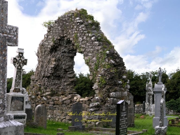
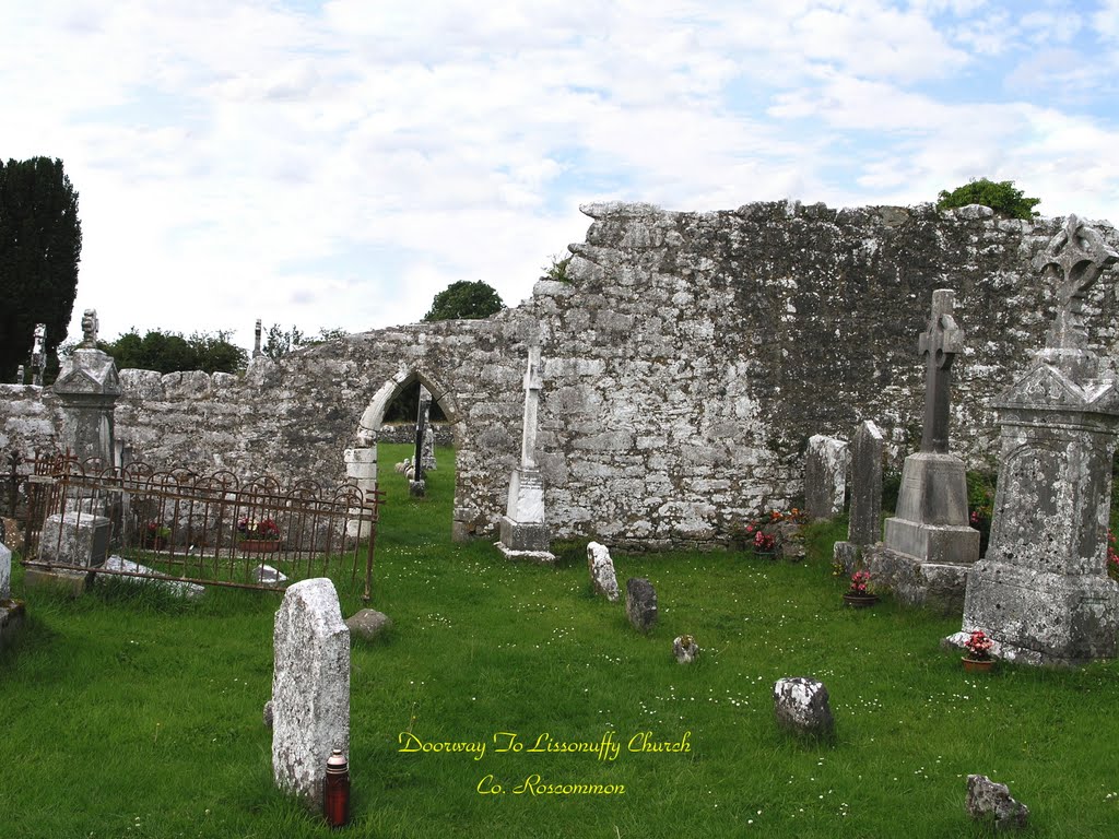
Photos of Stonetown

Stonetown Weather

Forecast: Overcast clouds
Temperature: 8.4°
Humidity: 95%
Current time: 12:00 AM
Sunrise: 07:34 AM
Sunset: 05:57 PM
Bruff, Ireland
Latitude: 52.4785 // Longitude: -8.54231
Photos of Bruff


 graveyard, March 2008")


Bruff Weather
Forecast: Overcast clouds
Temperature: 8.6°
Humidity: 94%
Current time: 06:23 PM
Sunrise: 07:33 AM
Sunset: 06:01 PM


