
Distance between  Silvermines and
  Castlefinn
141.27 mi Straight Distance
168.83 mi Driving Distance
4 hours 0 mins Estimated Driving Time
The straight distance between Silvermines (Tipperary) and Castlefinn (Donegal) is 141.27 mi, but the driving distance is 168.83 mi.
It takes 4 hours 0 mins to go from Silvermines to Castlefinn.
Driving directions from Silvermines to Castlefinn
Distance in kilometers
Straight distance: 227.30 km. Route distance: 271.65 km
Silvermines, Ireland
Latitude: 52.7944 // Longitude: -8.23663
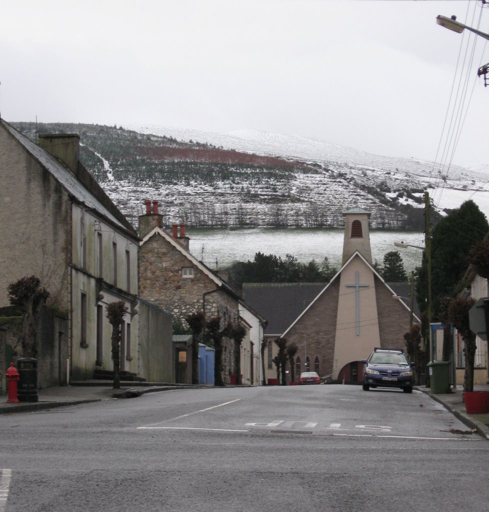
Photos of Silvermines


Silvermines Weather

Forecast: Overcast clouds
Temperature: 2.9°
Humidity: 86%
Sun info not available
Castlefinn, Ireland
Latitude: 54.803 // Longitude: -7.58958
Photos of Castlefinn


Castlefinn Weather
Forecast: Overcast clouds
Temperature: 3.7°
Humidity: 93%
Current time: 05:49 AM
Sunrise: 07:03 AM
Sunset: 06:19 PM


