
Distance between  Scotshouse and
  Flagmount
97.17 mi Straight Distance
121.18 mi Driving Distance
2 hours 54 mins Estimated Driving Time
The straight distance between Scotshouse (Monaghan) and Flagmount (Clare) is 97.17 mi, but the driving distance is 121.18 mi.
It takes to go from Scotshouse to Flagmount.
Driving directions from Scotshouse to Flagmount
Distance in kilometers
Straight distance: 156.34 km. Route distance: 194.98 km
Scotshouse, Ireland
Latitude: 54.1226 // Longitude: -7.24711
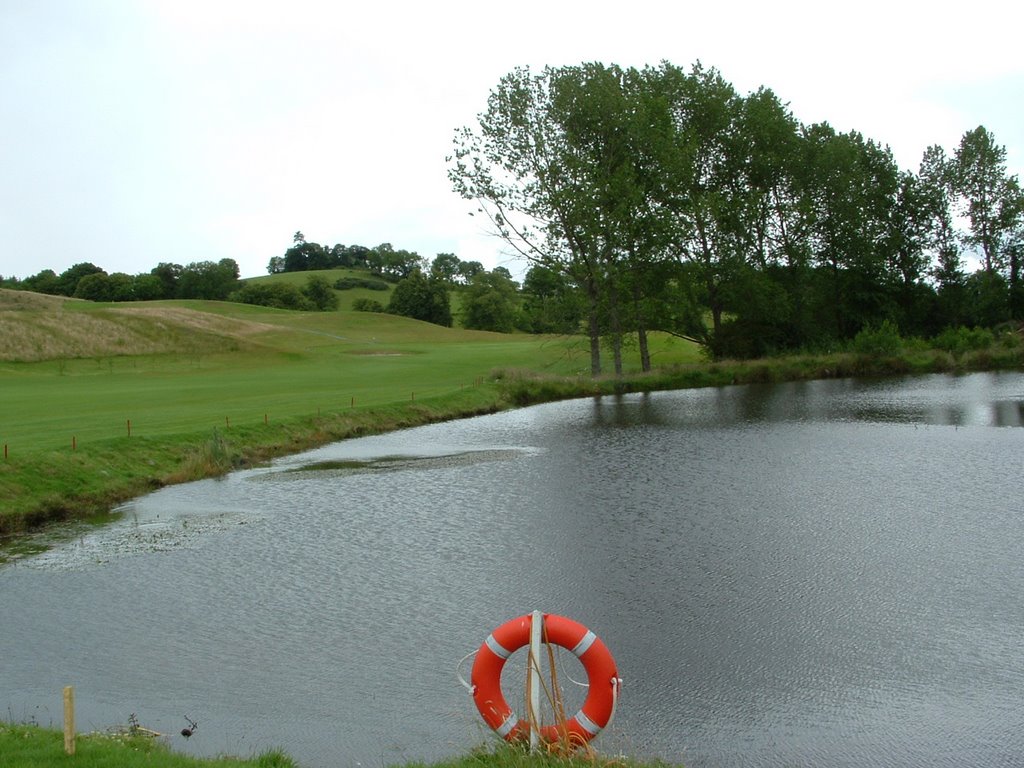
Photos of Scotshouse


Scotshouse Weather

Forecast: Moderate rain
Temperature: 5.1°
Humidity: 97%
Current time: 12:00 AM
Sunrise: 07:38 AM
Sunset: 05:47 PM
Flagmount, Ireland
Latitude: 52.9887 // Longitude: -8.64761
Photos of Flagmount

")


")
Flagmount Weather
Forecast: Light rain
Temperature: 8.6°
Humidity: 92%
Current time: 12:00 AM
Sunrise: 07:41 AM
Sunset: 05:55 PM


