
Distance between  Scarriff and
  Silvermines
14.71 mi Straight Distance
19.46 mi Driving Distance
36 minutes Estimated Driving Time
The straight distance between Scarriff (Clare) and Silvermines (Tipperary) is 14.71 mi, but the driving distance is 19.46 mi.
It takes to go from Scarriff to Silvermines.
Driving directions from Scarriff to Silvermines
Distance in kilometers
Straight distance: 23.67 km. Route distance: 31.31 km
Scarriff, Ireland
Latitude: 52.9112 // Longitude: -8.53144
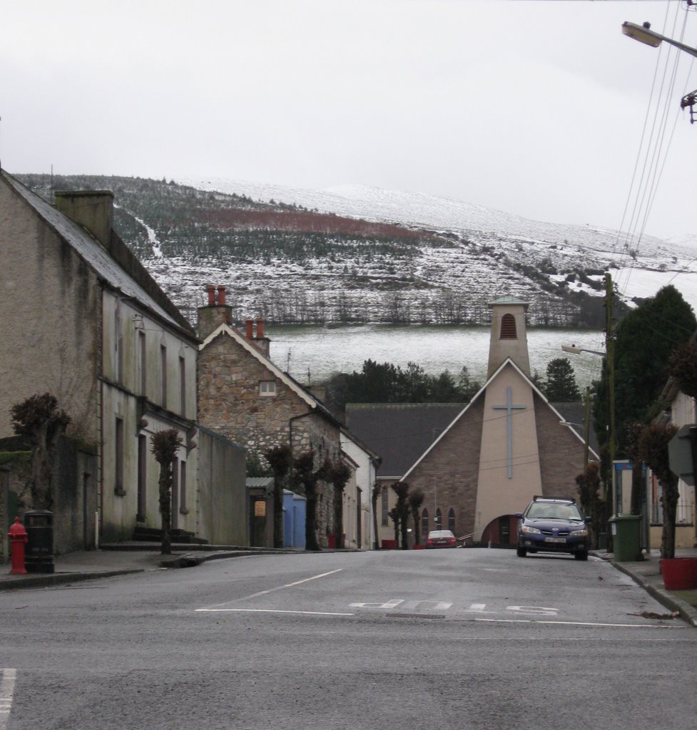
Photos of Scarriff


Scarriff Weather

Forecast: Broken clouds
Temperature: 8.7°
Humidity: 96%
Current time: 12:00 AM
Sunrise: 07:34 AM
Sunset: 06:00 PM
Silvermines, Ireland
Latitude: 52.7944 // Longitude: -8.23663
Photos of Silvermines


Silvermines Weather

Forecast: Few clouds
Temperature: 6.9°
Humidity: 90%
Current time: 12:00 AM
Sunrise: 07:32 AM
Sunset: 05:59 PM


