
Distance between  Ross Port and
  Clonegall
169.78 mi Straight Distance
209.94 mi Driving Distance
5 hours 6 mins Estimated Driving Time
The straight distance between Ross Port (Mayo) and Clonegall (Carlow) is 169.78 mi, but the driving distance is 209.94 mi.
It takes 5 hours 6 mins to go from Ross Port to Clonegall.
Driving directions from Ross Port to Clonegall
Distance in kilometers
Straight distance: 273.17 km. Route distance: 337.79 km
Ross Port, Ireland
Latitude: 54.2853 // Longitude: -9.7968
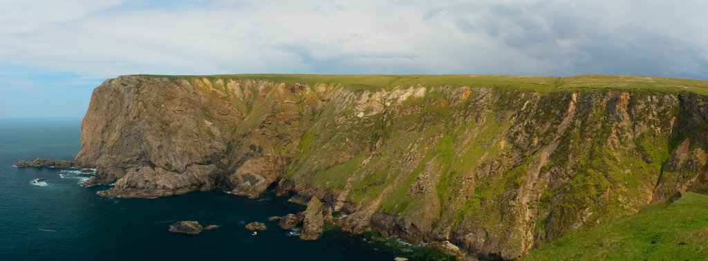
Photos of Ross Port


Ross Port Weather

Forecast: Overcast clouds
Temperature: 7.3°
Humidity: 88%
Current time: 07:07 AM
Sunrise: 07:04 AM
Sunset: 06:34 PM
Clonegall, Ireland
Latitude: 52.6948 // Longitude: -6.64773
Photos of Clonegall


Clonegall Weather
Forecast: Overcast clouds
Temperature: 7.6°
Humidity: 89%
Current time: 07:07 AM
Sunrise: 06:50 AM
Sunset: 06:23 PM


