
Distance between  Ross Port and
  Caherdaniel
174.29 mi Straight Distance
264.99 mi Driving Distance
6 hours 6 mins Estimated Driving Time
The straight distance between Ross Port (Mayo) and Caherdaniel (Kerry) is 174.29 mi, but the driving distance is 264.99 mi.
It takes 6 hours 6 mins to go from Ross Port to Caherdaniel.
Driving directions from Ross Port to Caherdaniel
Distance in kilometers
Straight distance: 280.43 km. Route distance: 426.37 km
Ross Port, Ireland
Latitude: 54.2853 // Longitude: -9.7968
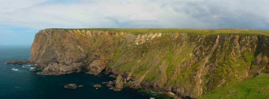
Photos of Ross Port


Ross Port Weather

Forecast: Overcast clouds
Temperature: 10.5°
Humidity: 88%
Current time: 11:36 PM
Sunrise: 07:04 AM
Sunset: 06:34 PM
Caherdaniel, Ireland
Latitude: 51.7694 // Longitude: -10.0994
Photos of Caherdaniel


Caherdaniel Weather
Forecast: Overcast clouds
Temperature: 10.5°
Humidity: 97%
Sun info not available


