
Distance between  Rosemount and
  Ballinascarty
131.78 mi Straight Distance
172.09 mi Driving Distance
3 hours 29 mins Estimated Driving Time
The straight distance between Rosemount (Westmeath) and Ballinascarty (Cork) is 131.78 mi, but the driving distance is 172.09 mi.
It takes to go from Rosemount to Ballinascarty.
Driving directions from Rosemount to Ballinascarty
Distance in kilometers
Straight distance: 212.03 km. Route distance: 276.90 km
Rosemount, Ireland
Latitude: 53.4308 // Longitude: -7.63655
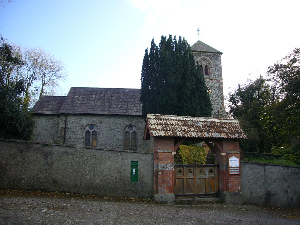
Photos of Rosemount


Rosemount Weather

Forecast: Overcast clouds
Temperature: 11.7°
Humidity: 94%
Current time: 01:44 AM
Sunrise: 07:27 AM
Sunset: 06:00 PM
Ballinascarty, Ireland
Latitude: 51.6742 // Longitude: -8.85861
Photos of Ballinascarty


Ballinascarty Weather
Forecast: Overcast clouds
Temperature: 10.0°
Humidity: 94%
Current time: 01:44 AM
Sunrise: 07:29 AM
Sunset: 06:07 PM


