
Distance between  Ring and
  Tramore
57.85 mi Straight Distance
78.49 mi Driving Distance
1 hour 53 mins Estimated Driving Time
The straight distance between Ring (Tipperary) and Tramore (Waterford) is 57.85 mi, but the driving distance is 78.49 mi.
It takes 1 hour 47 mins to go from Ring to Tramore.
Driving directions from Ring to Tramore
Distance in kilometers
Straight distance: 93.08 km. Route distance: 126.29 km
Ring, Ireland
Latitude: 52.8904 // Longitude: -7.82627
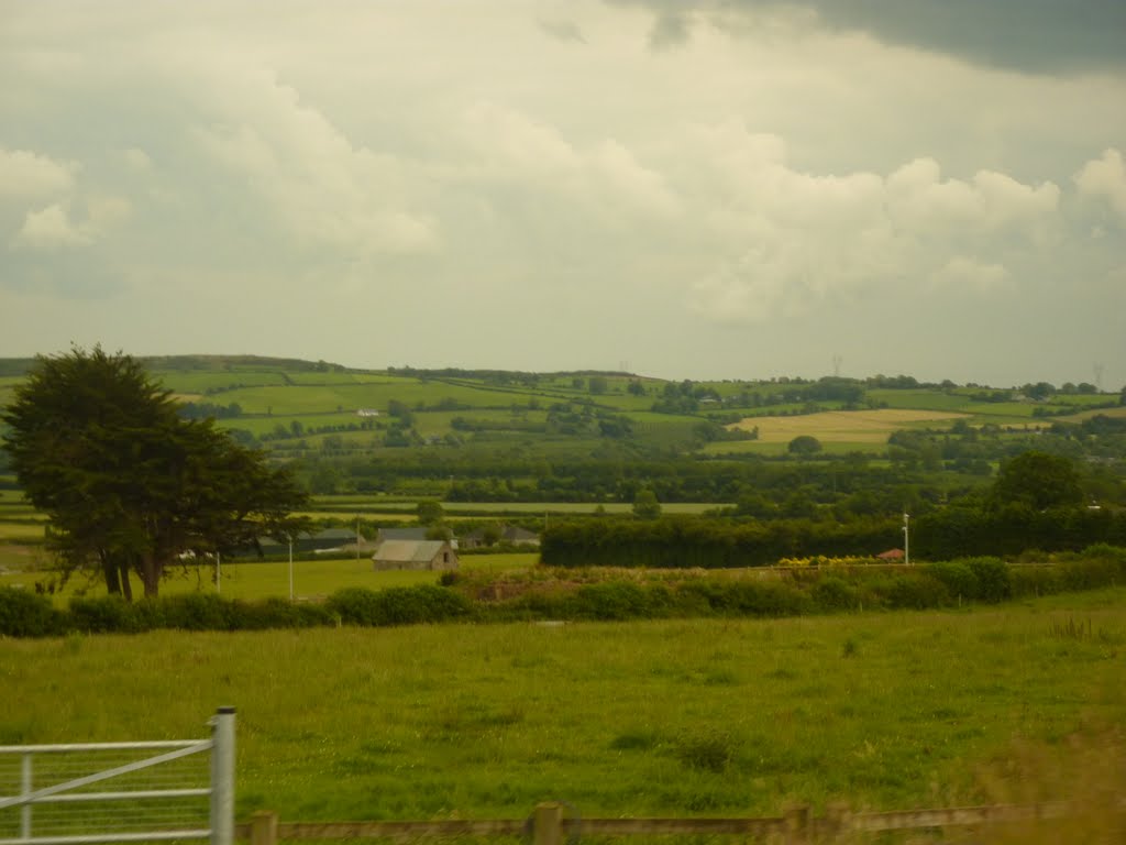
Photos of Ring


Ring Weather

Forecast: Overcast clouds
Temperature: 10.5°
Humidity: 96%
Current time: 12:00 AM
Sunrise: 07:13 AM
Sunset: 06:13 PM
Tramore, Ireland
Latitude: 52.1614 // Longitude: -7.1493
Photos of Tramore


Tramore Weather

Forecast: Light rain
Temperature: 10.3°
Humidity: 97%
Current time: 05:27 AM
Sunrise: 07:10 AM
Sunset: 06:11 PM


