
Distance between  Ring and
  Portlaw
47.09 mi Straight Distance
68.48 mi Driving Distance
1 hour 39 mins Estimated Driving Time
The straight distance between Ring (Tipperary) and Portlaw (Waterford) is 47.09 mi, but the driving distance is 68.48 mi.
It takes 1 hour 33 mins to go from Ring to Portlaw.
Driving directions from Ring to Portlaw
Distance in kilometers
Straight distance: 75.76 km. Route distance: 110.18 km
Ring, Ireland
Latitude: 52.8904 // Longitude: -7.82627
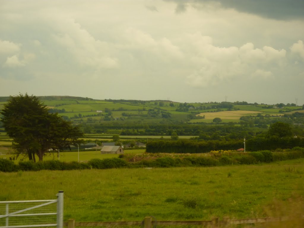
Photos of Ring


Ring Weather

Forecast: Broken clouds
Temperature: 4.9°
Humidity: 87%
Current time: 12:00 AM
Sunrise: 07:44 AM
Sunset: 05:46 PM
Portlaw, Ireland
Latitude: 52.2833 // Longitude: -7.31667
Photos of Portlaw


Portlaw Weather

Forecast: Few clouds
Temperature: 5.5°
Humidity: 90%
Current time: 12:58 PM
Sunrise: 07:40 AM
Sunset: 05:45 PM


