
Distance between  Ring and
  Mallaranny
106.98 mi Straight Distance
140.94 mi Driving Distance
3 hours 16 mins Estimated Driving Time
The straight distance between Ring (Tipperary) and Mallaranny (Mayo) is 106.98 mi, but the driving distance is 140.94 mi.
It takes to go from Ring to Mallaranny.
Driving directions from Ring to Mallaranny
Distance in kilometers
Straight distance: 172.13 km. Route distance: 226.78 km
Ring, Ireland
Latitude: 52.8904 // Longitude: -7.82627
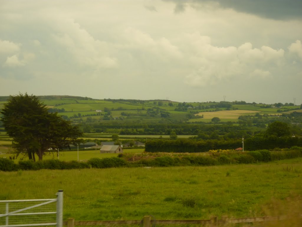
Photos of Ring


Ring Weather

Forecast: Clear sky
Temperature: 1.7°
Humidity: 89%
Current time: 12:00 AM
Sunrise: 07:11 AM
Sunset: 06:14 PM
Mallaranny, Ireland
Latitude: 53.9039 // Longitude: -9.78969
Photos of Mallaranny


Mallaranny Weather
Forecast: Clear sky
Temperature: 3.0°
Humidity: 84%
Current time: 12:00 AM
Sunrise: 07:20 AM
Sunset: 06:21 PM


