
Distance between  Ring and
  Carrick-On-Suir
41.21 mi Straight Distance
60.87 mi Driving Distance
1 hour 24 mins Estimated Driving Time
The straight distance between Ring (Tipperary) and Carrick-On-Suir (Tipperary) is 41.21 mi, but the driving distance is 60.87 mi.
It takes to go from Ring to Carrick-On-Suir.
Driving directions from Ring to Carrick-On-Suir
Distance in kilometers
Straight distance: 66.31 km. Route distance: 97.94 km
Ring, Ireland
Latitude: 52.8904 // Longitude: -7.82627
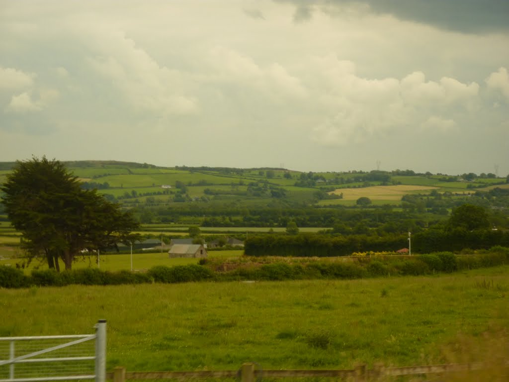
Photos of Ring


Ring Weather

Forecast: Overcast clouds
Temperature: 5.9°
Humidity: 94%
Current time: 12:00 AM
Sunrise: 07:46 AM
Sunset: 05:44 PM
Carrick-On-Suir, Ireland
Latitude: 52.3476 // Longitude: -7.41897
Photos of Carrick-On-Suir


Carrick-On-Suir Weather
Forecast: Overcast clouds
Temperature: 8.0°
Humidity: 99%
Current time: 04:08 AM
Sunrise: 07:43 AM
Sunset: 05:44 PM


