
Distance between  Raphoe and
  Toomevara
140.96 mi Straight Distance
172.83 mi Driving Distance
4 hours 6 mins Estimated Driving Time
The straight distance between Raphoe (Donegal) and Toomevara (Tipperary) is 140.96 mi, but the driving distance is 172.83 mi.
It takes 4 hours 6 mins to go from Raphoe to Toomevara.
Driving directions from Raphoe to Toomevara
Distance in kilometers
Straight distance: 226.81 km. Route distance: 278.08 km
Raphoe, Ireland
Latitude: 54.8739 // Longitude: -7.59944
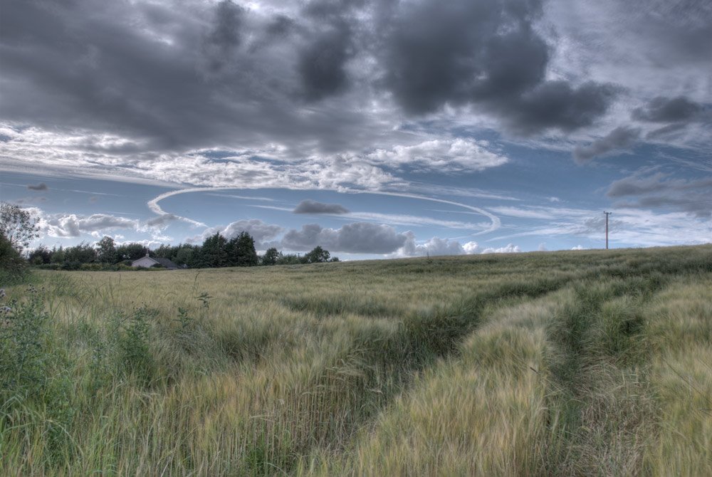
Photos of Raphoe


Raphoe Weather

Forecast: Overcast clouds
Temperature: 3.1°
Humidity: 93%
Current time: 09:42 AM
Sunrise: 07:03 AM
Sunset: 06:19 PM
Toomevara, Ireland
Latitude: 52.85 // Longitude: -8.03611
Photos of Toomevara


Toomevara Weather
Forecast: Broken clouds
Temperature: 3.3°
Humidity: 85%
Sun info not available


