
Distance between  Raphoe and
  Moylough
103.50 mi Straight Distance
132.29 mi Driving Distance
3 hours 6 mins Estimated Driving Time
The straight distance between Raphoe (Donegal) and Moylough (Galway) is 103.50 mi, but the driving distance is 132.29 mi.
It takes 3 hours 6 mins to go from Raphoe to Moylough.
Driving directions from Raphoe to Moylough
Distance in kilometers
Straight distance: 166.53 km. Route distance: 212.85 km
Raphoe, Ireland
Latitude: 54.8739 // Longitude: -7.59944
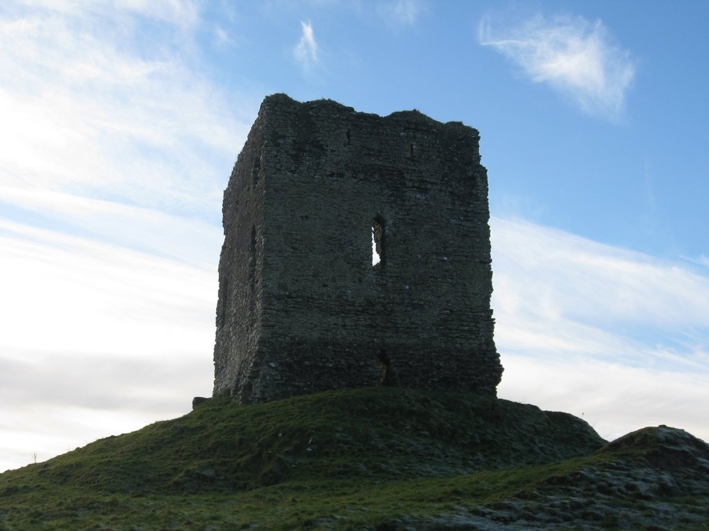
Photos of Raphoe


Raphoe Weather

Forecast: Clear sky
Temperature: 18.0°
Humidity: 40%
Current time: 09:03 AM
Sunrise: 07:00 AM
Sunset: 06:21 PM
Moylough, Ireland
Latitude: 53.489 // Longitude: -8.575
Photos of Moylough


Moylough Weather
Forecast: Clear sky
Temperature: 18.0°
Humidity: 40%
Current time: 09:03 AM
Sunrise: 07:03 AM
Sunset: 06:26 PM


