
Distance between  Rakestreet and
  Killala
10.61 mi Straight Distance
17.21 mi Driving Distance
29 minutes Estimated Driving Time
The straight distance between Rakestreet (Mayo) and Killala (Mayo) is 10.61 mi, but the driving distance is 17.21 mi.
It takes to go from Rakestreet to Killala.
Driving directions from Rakestreet to Killala
Distance in kilometers
Straight distance: 17.07 km. Route distance: 27.70 km
Rakestreet, Ireland
Latitude: 54.0712 // Longitude: -9.35514
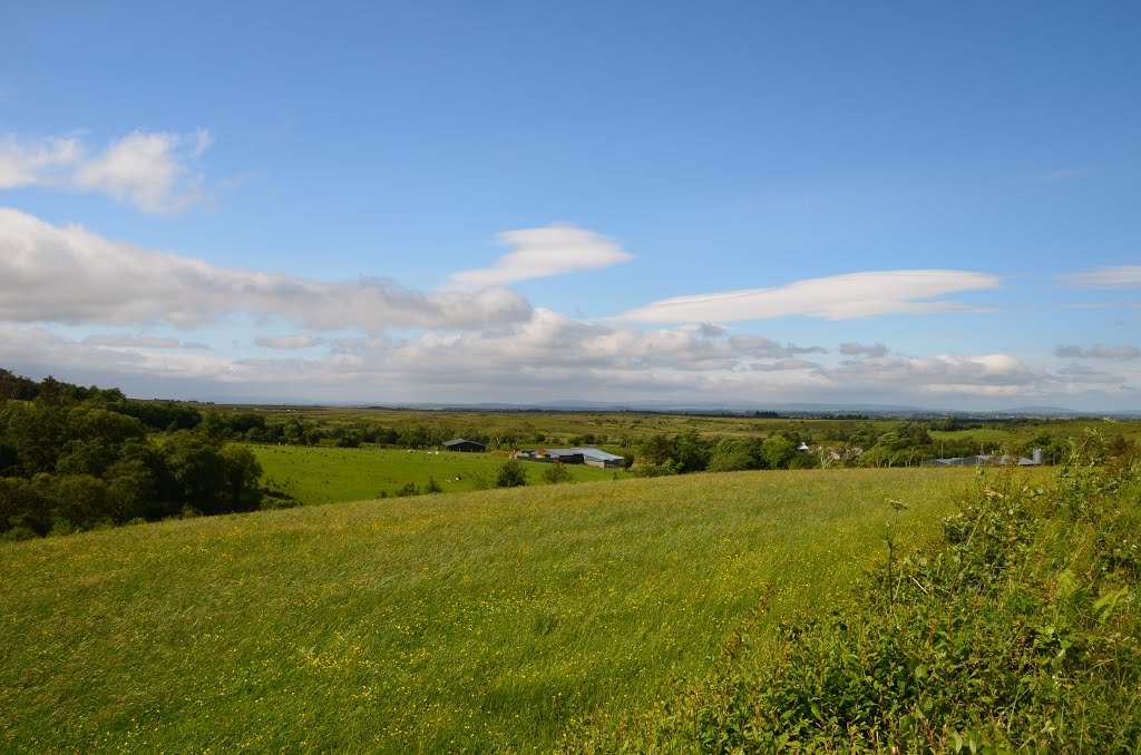
Photos of Rakestreet


Rakestreet Weather

Predicción: Moderate rain
Temperatura: 3.0°
Humedad: 75%
Hora actual: 01:13 PM
Amanece: 07:57 AM
Anochece: 05:45 PM
Killala, Ireland
Latitude: 54.2068 // Longitude: -9.2322
Photos of Killala


Killala Weather
Predicción: Moderate rain
Temperatura: 3.1°
Humedad: 75%
Hora actual: 01:13 PM
Amanece: 07:57 AM
Anochece: 05:45 PM


