
Distance between  Rakestreet and
  Dooniver
24.66 mi Straight Distance
45 mi Driving Distance
1 hour 11 mins Estimated Driving Time
The straight distance between Rakestreet (Mayo) and Dooniver (Mayo) is 24.66 mi, but the driving distance is 45 mi.
It takes 1 hour 11 mins to go from Rakestreet to Dooniver.
Driving directions from Rakestreet to Dooniver
Distance in kilometers
Straight distance: 39.67 km. Route distance: 72.41 km
Rakestreet, Ireland
Latitude: 54.0712 // Longitude: -9.35514
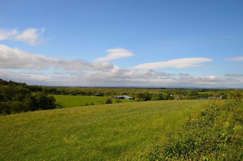
Photos of Rakestreet


Rakestreet Weather

Forecast: Moderate rain
Temperature: 8.5°
Humidity: 89%
Current time: 02:08 PM
Sunrise: 06:57 AM
Sunset: 06:37 PM
Dooniver, Ireland
Latitude: 53.999 // Longitude: -9.95024
Photos of Dooniver


Dooniver Weather

Forecast: Overcast clouds
Temperature: 8.1°
Humidity: 89%
Sun info not available


