
Distance between  Rahara and
  Silvermines
50.56 mi Straight Distance
65.83 mi Driving Distance
1 hour 40 mins Estimated Driving Time
The straight distance between Rahara (Roscommon) and Silvermines (Tipperary) is 50.56 mi, but the driving distance is 65.83 mi.
It takes to go from Rahara to Silvermines.
Driving directions from Rahara to Silvermines
Distance in kilometers
Straight distance: 81.35 km. Route distance: 105.92 km
Rahara, Ireland
Latitude: 53.524 // Longitude: -8.14283
Photos of Rahara


Rahara Weather

Forecast: Clear sky
Temperature: 18.0°
Humidity: 40%
Current time: 12:00 AM
Sunrise: 07:11 AM
Sunset: 06:17 PM
Silvermines, Ireland
Latitude: 52.7944 // Longitude: -8.23663
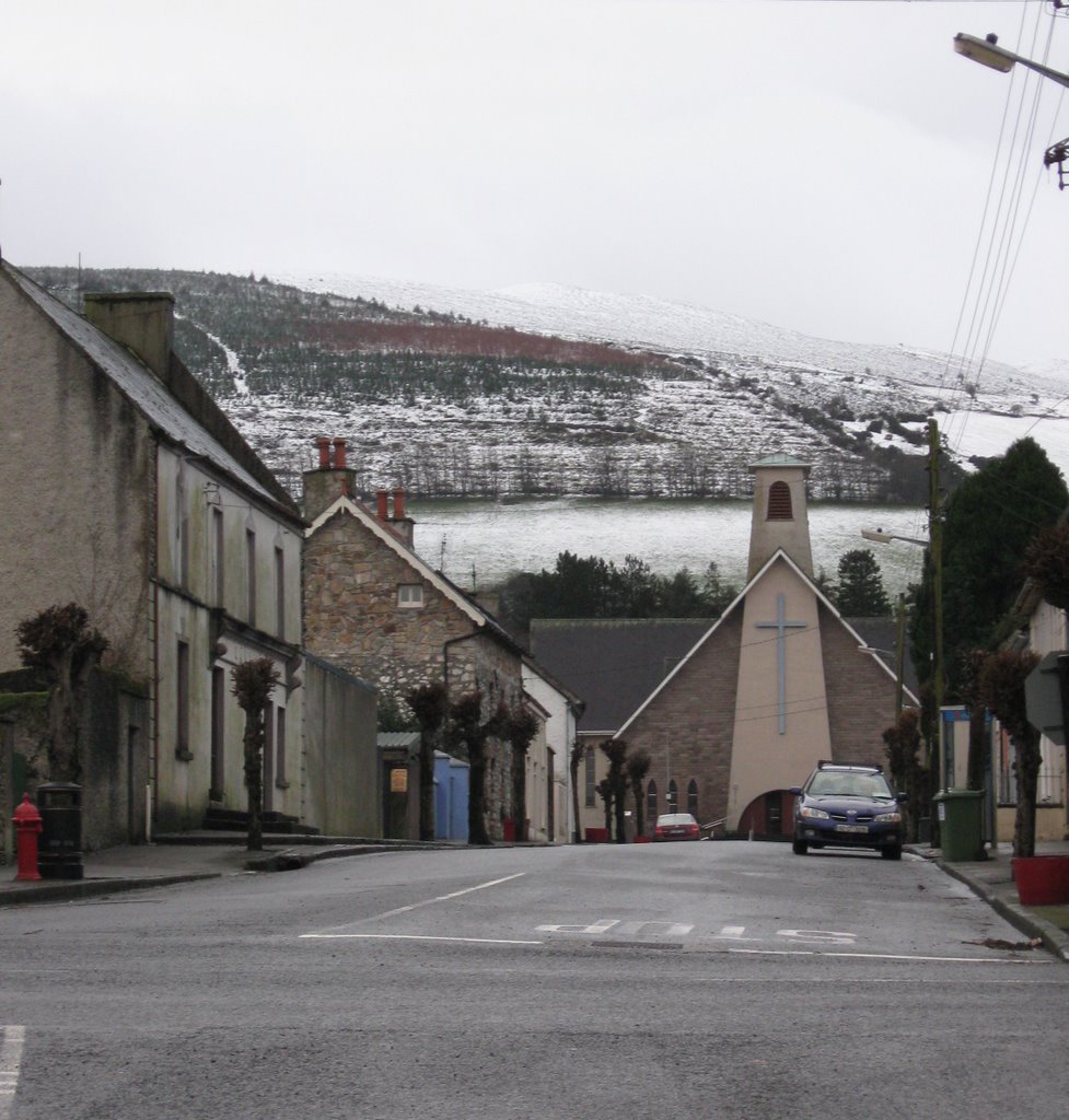
Photos of Silvermines


Silvermines Weather
Forecast: Clear sky
Temperature: 18.0°
Humidity: 40%
Current time: 12:00 AM
Sunrise: 07:10 AM
Sunset: 06:18 PM


