
Distance between  Portlaoise and
  Ballycarney
43.48 mi Straight Distance
49.29 mi Driving Distance
1 hour 15 mins Estimated Driving Time
The straight distance between Portlaoise (Laois) and Ballycarney (Wexford) is 43.48 mi, but the driving distance is 49.29 mi.
It takes to go from Portlaoise to Ballycarney.
Driving directions from Portlaoise to Ballycarney
Distance in kilometers
Straight distance: 69.95 km. Route distance: 79.31 km
Portlaoise, Ireland
Latitude: 53.0328 // Longitude: -7.29879
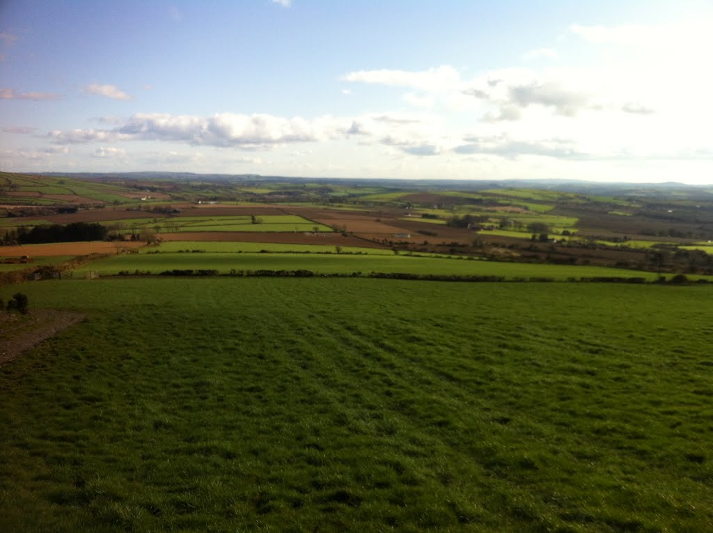
Photos of Portlaoise


 - Portlaoise")


Portlaoise Weather

Forecast: Scattered clouds
Temperature: 7.6°
Humidity: 89%
Current time: 11:53 PM
Sunrise: 07:29 AM
Sunset: 05:55 PM
Ballycarney, Ireland
Latitude: 52.5827 // Longitude: -6.57135
Photos of Ballycarney


Ballycarney Weather

Forecast: Clear sky
Temperature: 9.9°
Humidity: 83%
Current time: 11:53 PM
Sunrise: 07:25 AM
Sunset: 05:53 PM


