
Distance between  Owenbeg and
  Aghada
168.29 mi Straight Distance
214.48 mi Driving Distance
4 hours 36 mins Estimated Driving Time
The straight distance between Owenbeg (Sligo) and Aghada (Cork) is 168.29 mi, but the driving distance is 214.48 mi.
It takes 4 hours 36 mins to go from Owenbeg to Aghada.
Driving directions from Owenbeg to Aghada
Distance in kilometers
Straight distance: 270.78 km. Route distance: 345.10 km
Owenbeg, Ireland
Latitude: 54.2326 // Longitude: -8.94169
Photos of Owenbeg


Owenbeg Weather

Forecast: Overcast clouds
Temperature: 6.6°
Humidity: 79%
Sun info not available
Aghada, Ireland
Latitude: 51.837 // Longitude: -8.209
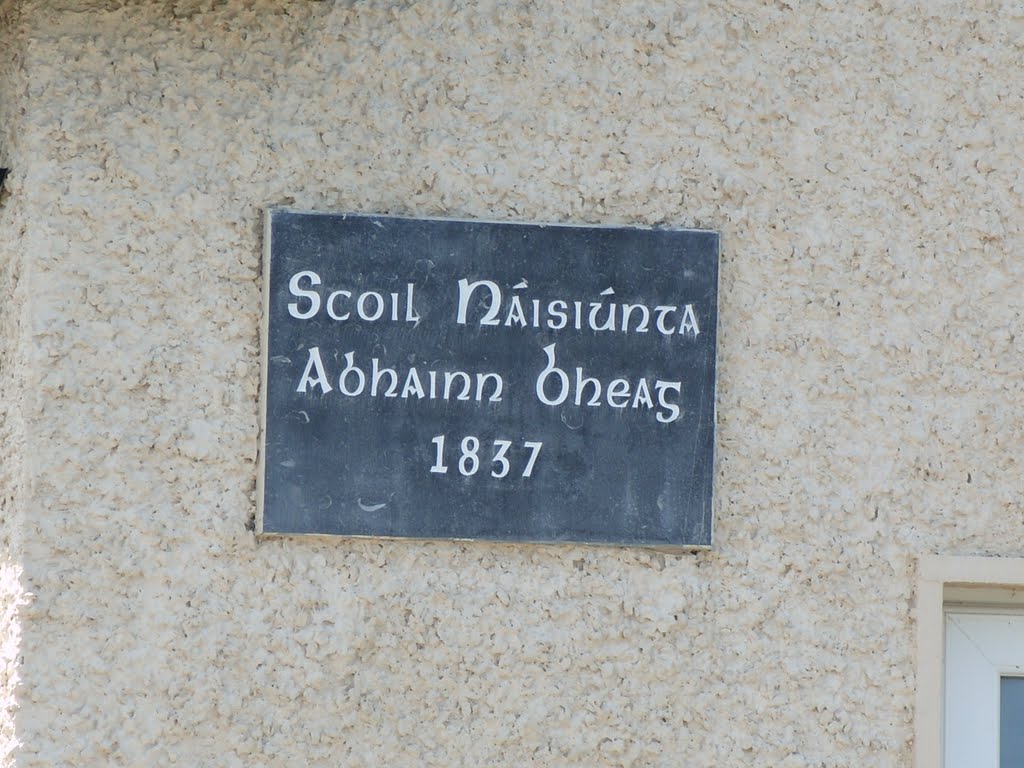
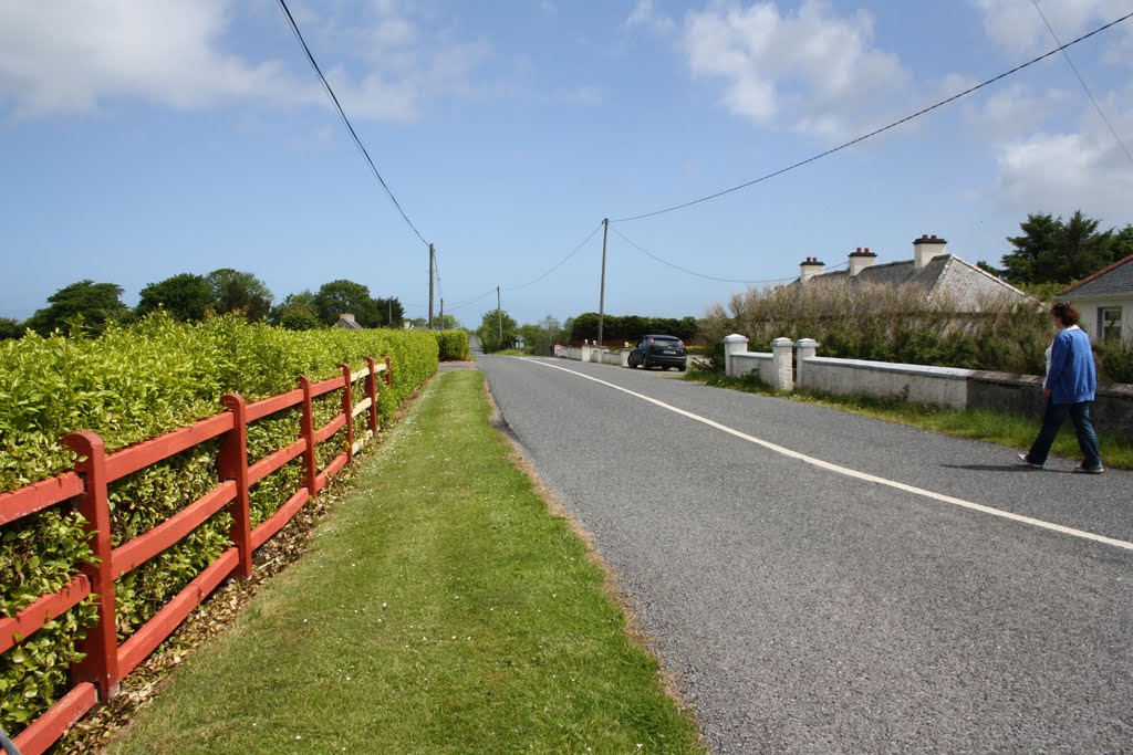
Photos of Aghada


Aghada Weather
Forecast: Broken clouds
Temperature: 8.0°
Humidity: 71%
Current time: 06:58 AM
Sunrise: 06:56 AM
Sunset: 06:29 PM


