
Distance between  Newcastle and
  Pollagh
69.60 mi Straight Distance
98.82 mi Driving Distance
1 hour 59 mins Estimated Driving Time
The straight distance between Newcastle (Wicklow) and Pollagh (Offaly) is 69.60 mi, but the driving distance is 98.82 mi.
It takes 1 hour 59 mins to go from Newcastle to Pollagh.
Driving directions from Newcastle to Pollagh
Distance in kilometers
Straight distance: 111.99 km. Route distance: 158.99 km
Newcastle, Ireland
Latitude: 53.0711 // Longitude: -6.06384
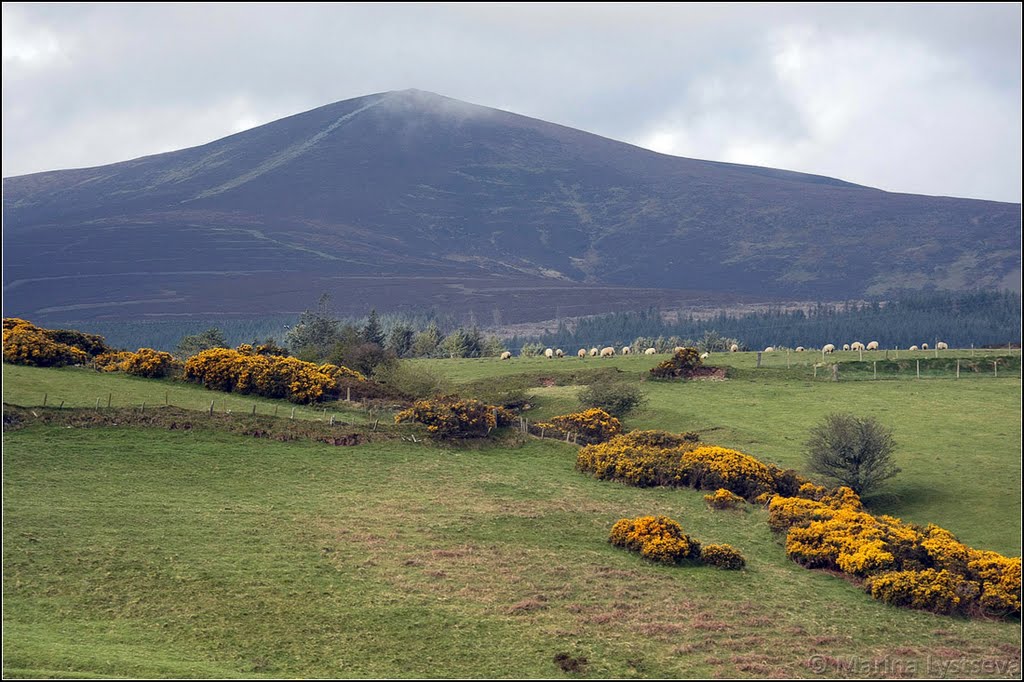
Photos of Newcastle


Newcastle Weather

Forecast: Few clouds
Temperature: 10.4°
Humidity: 66%
Current time: 10:20 PM
Sunrise: 06:46 AM
Sunset: 06:22 PM
Pollagh, Ireland
Latitude: 53.2768 // Longitude: -7.70917
Photos of Pollagh


 Bog Yew altar (4,800 years old)")
Pollagh Weather

Forecast: Light rain
Temperature: 10.5°
Humidity: 65%
Sun info not available


