
Distance between  Newcastle and
  Ballyhide
41.42 mi Straight Distance
76.33 mi Driving Distance
1 hour 33 mins Estimated Driving Time
The straight distance between Newcastle (Wicklow) and Ballyhide (Laois) is 41.42 mi, but the driving distance is 76.33 mi.
It takes 1 hour 33 mins to go from Newcastle to Ballyhide.
Driving directions from Newcastle to Ballyhide
Distance in kilometers
Straight distance: 66.64 km. Route distance: 122.81 km
Newcastle, Ireland
Latitude: 53.0711 // Longitude: -6.06384
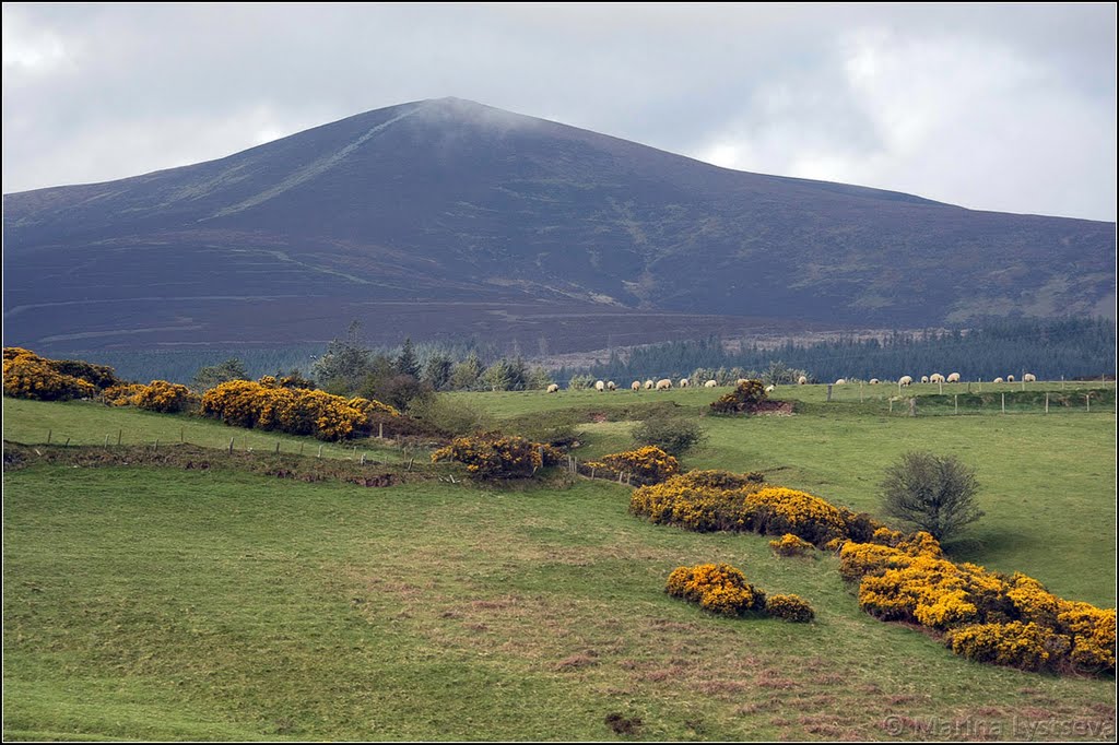
Photos of Newcastle


Newcastle Weather

Forecast: Clear sky
Temperature: 18.0°
Humidity: 40%
Current time: 05:09 PM
Sunrise: 06:50 AM
Sunset: 06:18 PM
Ballyhide, Ireland
Latitude: 52.8216 // Longitude: -6.96838
Photos of Ballyhide


Ballyhide Weather
Forecast: Clear sky
Temperature: 18.0°
Humidity: 40%
Current time: 05:09 PM
Sunrise: 06:54 AM
Sunset: 06:22 PM


