
Distance between  Moylough and
  Easky
Easky
57.30 mi Straight Distance
76.19 mi Driving Distance
1 hour 55 mins Estimated Driving Time
The straight distance between Moylough (Galway) and Easky (Sligo) is 57.30 mi, but the driving distance is 76.19 mi.
It takes to go from Moylough to Easky.
Driving directions from Moylough to Easky
Distance in kilometers
Straight distance: 92.20 km. Route distance: 122.59 km
Moylough, Ireland
Latitude: 53.489 // Longitude: -8.575
Photos of Moylough


Moylough Weather

Predicción: Clear sky
Temperatura: -0.8°
Humedad: 79%
Hora actual: 11:43 PM
Amanece: 07:54 AM
Anochece: 05:42 PM
Easky, Ireland
Latitude: 54.2863 // Longitude: -8.96237
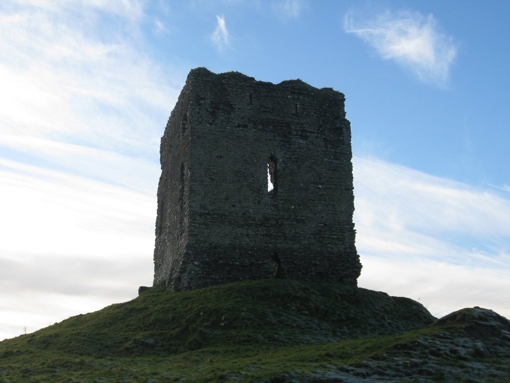
Photos of Easky


")


Easky Weather
Predicción: Clear sky
Temperatura: -1.3°
Humedad: 85%
Hora actual: 01:00 AM
Amanece: 07:58 AM
Anochece: 05:41 PM


