
Distance between  Knocknagoshel and
  Kill
Kill
132.74 mi Straight Distance
148.91 mi Driving Distance
2 hours 55 mins Estimated Driving Time
The straight distance between Knocknagoshel (Kerry) and Kill (Kildare) is 132.74 mi, but the driving distance is 148.91 mi.
It takes to go from Knocknagoshel to Kill.
Driving directions from Knocknagoshel to Kill
Distance in kilometers
Straight distance: 213.59 km. Route distance: 239.60 km
Knocknagoshel, Ireland
Latitude: 52.3313 // Longitude: -9.38228
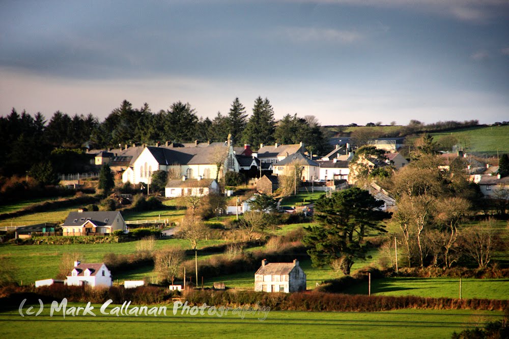
Photos of Knocknagoshel


Knocknagoshel Weather

Forecast: Overcast clouds
Temperature: 6.6°
Humidity: 96%
Current time: 06:25 PM
Sunrise: 07:51 AM
Sunset: 05:52 PM
Kill, Ireland
Latitude: 53.2487 // Longitude: -6.59053
Photos of Kill


Kill Weather

Forecast: Light intensity drizzle
Temperature: 5.7°
Humidity: 84%
Current time: 06:25 PM
Sunrise: 07:42 AM
Sunset: 05:38 PM


