
Distance between  Killurin and
  Ballycarney
59.91 mi Straight Distance
69.37 mi Driving Distance
1 hour 47 mins Estimated Driving Time
The straight distance between Killurin (Offaly) and Ballycarney (Wexford) is 59.91 mi, but the driving distance is 69.37 mi.
It takes 1 hour 47 mins to go from Killurin to Ballycarney.
Driving directions from Killurin to Ballycarney
Distance in kilometers
Straight distance: 96.39 km. Route distance: 111.62 km
Killurin, Ireland
Latitude: 53.2173 // Longitude: -7.55091
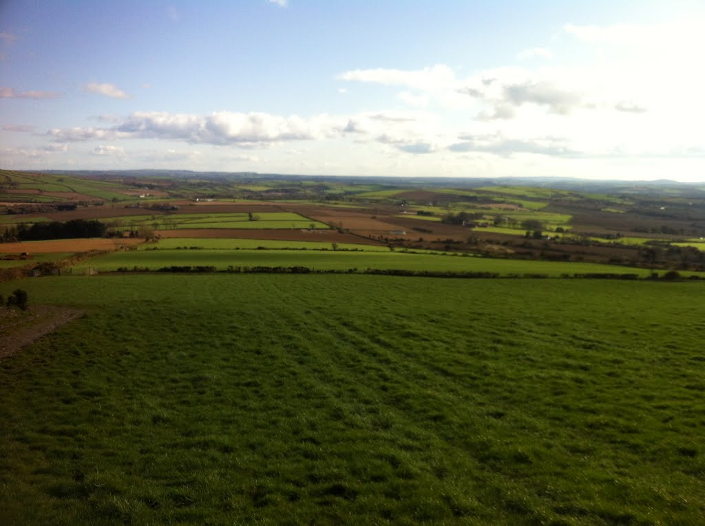
Photos of Killurin


Killurin Weather

Forecast: Broken clouds
Temperature: 5.0°
Humidity: 83%
Sun info not available
Ballycarney, Ireland
Latitude: 52.5827 // Longitude: -6.57135
Photos of Ballycarney


Ballycarney Weather

Forecast: Few clouds
Temperature: 6.5°
Humidity: 84%
Current time: 08:21 PM
Sunrise: 06:59 AM
Sunset: 06:15 PM


