
Distance between  Killorglin and
  Newcastle
169.78 mi Straight Distance
212.21 mi Driving Distance
4 hours 12 mins Estimated Driving Time
The straight distance between Killorglin (Kerry) and Newcastle (Wicklow) is 169.78 mi, but the driving distance is 212.21 mi.
It takes 4 hours 12 mins to go from Killorglin to Newcastle.
Driving directions from Killorglin to Newcastle
Distance in kilometers
Straight distance: 273.17 km. Route distance: 341.44 km
Killorglin, Ireland
Latitude: 52.1063 // Longitude: -9.78434
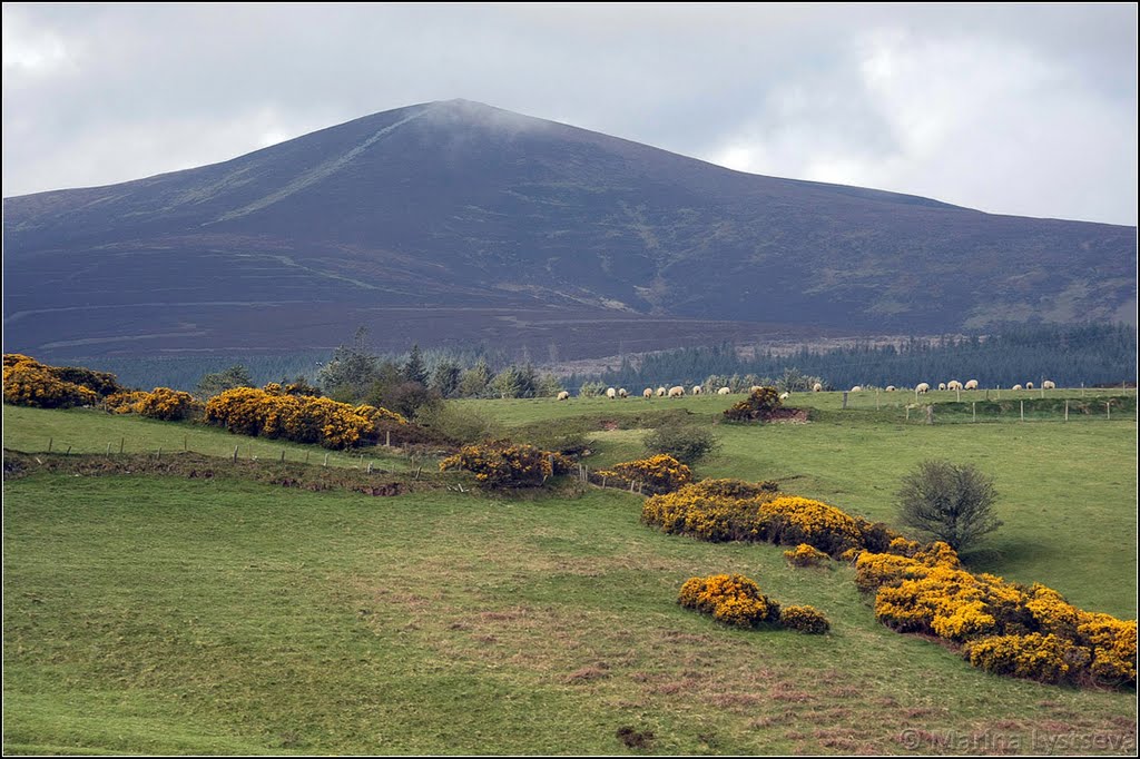
Photos of Killorglin


Killorglin Weather

Forecast: Broken clouds
Temperature: 12.1°
Humidity: 82%
Current time: 07:45 PM
Sunrise: 07:02 AM
Sunset: 06:36 PM
Newcastle, Ireland
Latitude: 53.0711 // Longitude: -6.06384
Photos of Newcastle


Newcastle Weather
Forecast: Overcast clouds
Temperature: 11.7°
Humidity: 92%
Current time: 07:45 PM
Sunrise: 06:48 AM
Sunset: 06:20 PM


