
Distance between  Killinaspick and
  Cootehill
119.93 mi Straight Distance
166.84 mi Driving Distance
3 hours 15 mins Estimated Driving Time
The straight distance between Killinaspick (Kilkenny) and Cootehill (Cavan) is 119.93 mi, but the driving distance is 166.84 mi.
It takes to go from Killinaspick to Cootehill.
Driving directions from Killinaspick to Cootehill
Distance in kilometers
Straight distance: 192.97 km. Route distance: 268.44 km
Killinaspick, Ireland
Latitude: 52.3395 // Longitude: -7.26188
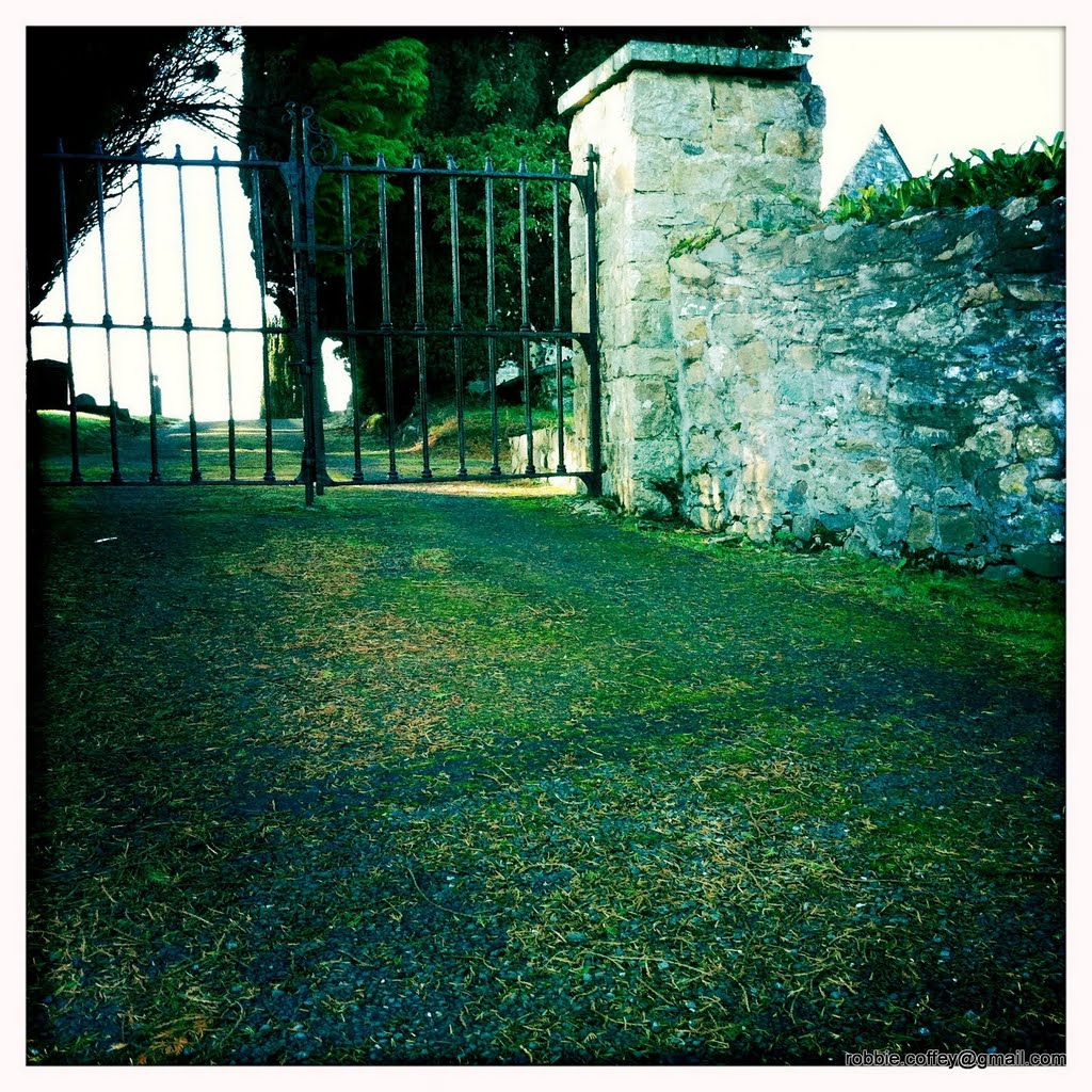
Photos of Killinaspick


Killinaspick Weather

Forecast: Overcast clouds
Temperature: 8.2°
Humidity: 57%
Current time: 07:26 AM
Sunrise: 07:42 AM
Sunset: 05:43 PM
Cootehill, Ireland
Latitude: 54.072 // Longitude: -7.08262
Photos of Cootehill


Cootehill Weather
Forecast: Overcast clouds
Temperature: 4.4°
Humidity: 99%
Current time: 07:26 AM
Sunrise: 07:46 AM
Sunset: 05:38 PM


