
Distance between  Killala and
  Toomevara
105.83 mi Straight Distance
133.98 mi Driving Distance
3 hours 3 mins Estimated Driving Time
The straight distance between Killala (Mayo) and Toomevara (Tipperary) is 105.83 mi, but the driving distance is 133.98 mi.
It takes 3 hours 3 mins to go from Killala to Toomevara.
Driving directions from Killala to Toomevara
Distance in kilometers
Straight distance: 170.29 km. Route distance: 215.58 km
Killala, Ireland
Latitude: 54.2068 // Longitude: -9.2322
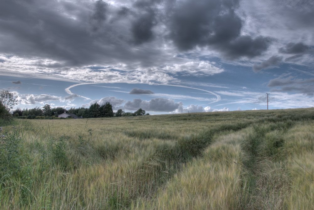
Photos of Killala


Killala Weather

Forecast: Broken clouds
Temperature: 5.4°
Humidity: 91%
Current time: 02:21 PM
Sunrise: 07:09 AM
Sunset: 06:26 PM
Toomevara, Ireland
Latitude: 52.85 // Longitude: -8.03611
Photos of Toomevara


Toomevara Weather
Forecast: Broken clouds
Temperature: 3.3°
Humidity: 85%
Sun info not available


