
Distance between  Killala and
  Knocknagoshel
129.73 mi Straight Distance
174.66 mi Driving Distance
3 hours 51 mins Estimated Driving Time
The straight distance between Killala (Mayo) and Knocknagoshel (Kerry) is 129.73 mi, but the driving distance is 174.66 mi.
It takes 3 hours 51 mins to go from Killala to Knocknagoshel.
Driving directions from Killala to Knocknagoshel
Distance in kilometers
Straight distance: 208.74 km. Route distance: 281.02 km
Killala, Ireland
Latitude: 54.2068 // Longitude: -9.2322
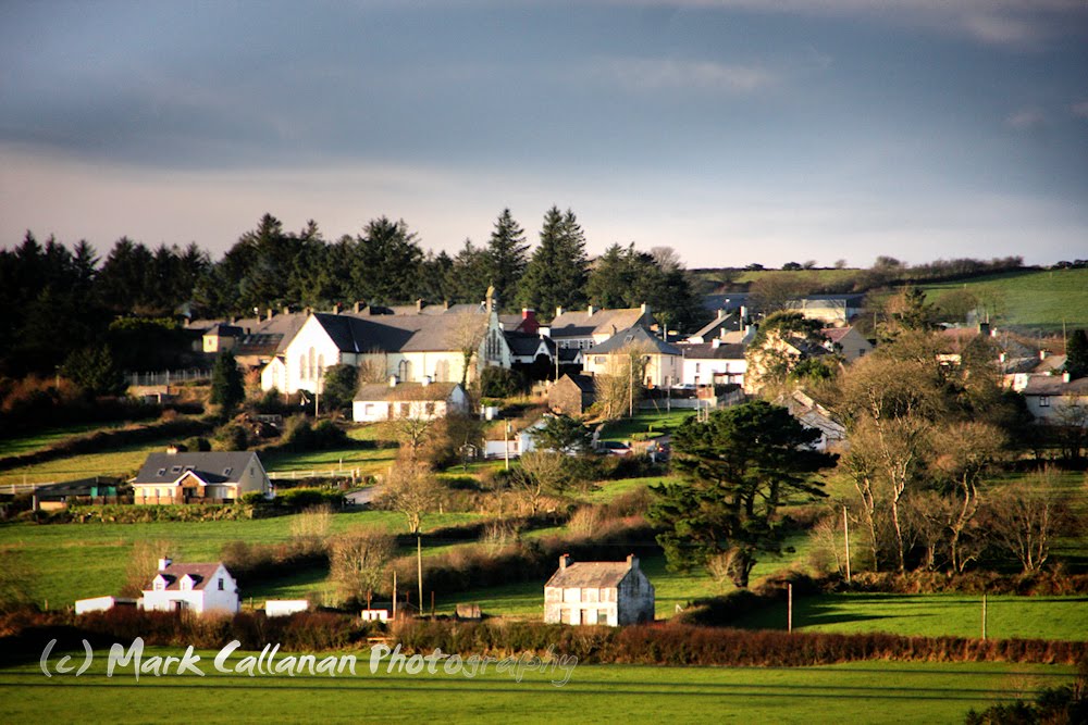
Photos of Killala


Killala Weather

Forecast: Clear sky
Temperature: 18.0°
Humidity: 40%
Current time: 07:49 PM
Sunrise: 07:09 AM
Sunset: 06:26 PM
Knocknagoshel, Ireland
Latitude: 52.3313 // Longitude: -9.38228
Photos of Knocknagoshel


Knocknagoshel Weather
Forecast: Clear sky
Temperature: 18.0°
Humidity: 40%
Current time: 07:49 PM
Sunrise: 07:08 AM
Sunset: 06:28 PM


