
Distance between  Kill and
  Clounanaha
114.31 mi Straight Distance
144.57 mi Driving Distance
2 hours 42 mins Estimated Driving Time
The straight distance between Kill (Kildare) and Clounanaha (Clare) is 114.31 mi, but the driving distance is 144.57 mi.
It takes 2 hours 42 mins to go from Kill to Clounanaha.
Driving directions from Kill to Clounanaha
Distance in kilometers
Straight distance: 183.93 km. Route distance: 232.62 km
Kill, Ireland
Latitude: 53.2487 // Longitude: -6.59053
Photos of Kill


Kill Weather

Forecast: Scattered clouds
Temperature: 10.3°
Humidity: 63%
Current time: 01:59 PM
Sunrise: 06:48 AM
Sunset: 06:24 PM
Clounanaha, Ireland
Latitude: 52.8728 // Longitude: -9.2717
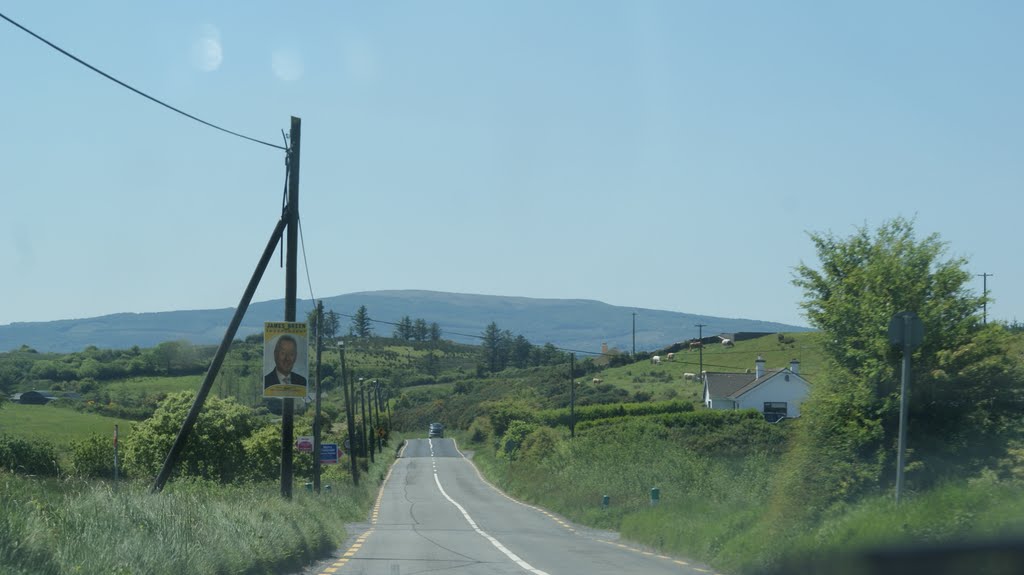
Photos of Clounanaha


Clounanaha Weather

Forecast: Broken clouds
Temperature: 9.4°
Humidity: 76%
Sun info not available


