
Distance between  Kealkill and
  Tralee
38.45 mi Straight Distance
62.32 mi Driving Distance
1 hour 38 mins Estimated Driving Time
The straight distance between Kealkill (Cork) and Tralee (Kerry) is 38.45 mi, but the driving distance is 62.32 mi.
It takes 1 hour 34 mins to go from Kealkill to Tralee.
Driving directions from Kealkill to Tralee
Distance in kilometers
Straight distance: 61.86 km. Route distance: 100.28 km
Kealkill, Ireland
Latitude: 51.7508 // Longitude: -9.38028
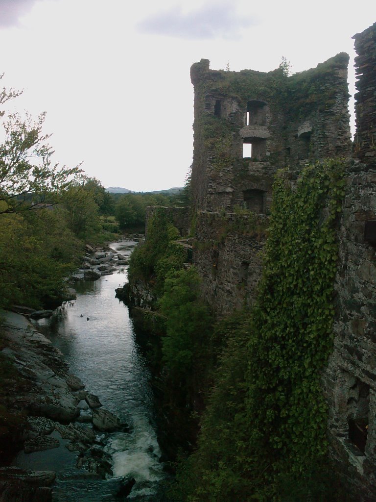
Photos of Kealkill


")

Kealkill Weather

Forecast: Heavy intensity rain
Temperature: 10.2°
Humidity: 98%
Current time: 12:00 AM
Sunrise: 07:18 AM
Sunset: 06:20 PM
Tralee, Ireland
Latitude: 52.2713 // Longitude: -9.69993
Photos of Tralee


, agosto 1996")


Tralee Weather
Forecast: Heavy intensity rain
Temperature: 12.1°
Humidity: 87%
Current time: 12:29 AM
Sunrise: 07:20 AM
Sunset: 06:21 PM


