
Distance between  Kealkill and
  Drogheda
185.66 mi Straight Distance
234.17 mi Driving Distance
4 hours 20 mins Estimated Driving Time
The straight distance between Kealkill (Cork) and Drogheda (Louth) is 185.66 mi, but the driving distance is 234.17 mi.
It takes 4 hours 20 mins to go from Kealkill to Drogheda.
Driving directions from Kealkill to Drogheda
Distance in kilometers
Straight distance: 298.72 km. Route distance: 376.78 km
Kealkill, Ireland
Latitude: 51.7508 // Longitude: -9.38028
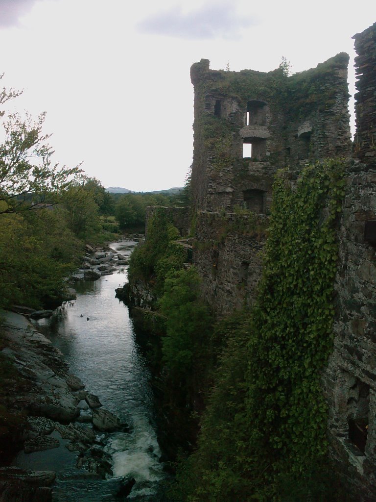
Photos of Kealkill


")

Kealkill Weather

Forecast: Broken clouds
Temperature: 4.4°
Humidity: 95%
Sun info not available
Drogheda, Ireland
Latitude: 53.7179 // Longitude: -6.3561
Photos of Drogheda


Drogheda Weather

Forecast: Few clouds
Temperature: 4.0°
Humidity: 79%
Current time: 01:37 PM
Sunrise: 06:57 AM
Sunset: 06:15 PM


