
Distance between  Flagmount and
  Knocknagoshel
54.87 mi Straight Distance
73.58 mi Driving Distance
2 hours 4 mins Estimated Driving Time
The straight distance between Flagmount (Clare) and Knocknagoshel (Kerry) is 54.87 mi, but the driving distance is 73.58 mi.
It takes 2 hours 4 mins to go from Flagmount to Knocknagoshel.
Driving directions from Flagmount to Knocknagoshel
Distance in kilometers
Straight distance: 88.29 km. Route distance: 118.38 km
Flagmount, Ireland
Latitude: 52.9887 // Longitude: -8.64761
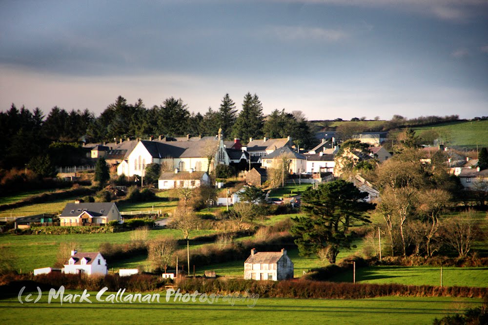
Photos of Flagmount

")


")
Flagmount Weather

Forecast: Overcast clouds
Temperature: 3.3°
Humidity: 91%
Sun info not available
Knocknagoshel, Ireland
Latitude: 52.3313 // Longitude: -9.38228
Photos of Knocknagoshel


Knocknagoshel Weather

Forecast: Scattered clouds
Temperature: 8.2°
Humidity: 76%
Current time: 02:08 AM
Sunrise: 07:08 AM
Sunset: 06:28 PM


