
Distance between  Flagmount and
  Blue Ball
45.57 mi Straight Distance
59.20 mi Driving Distance
1 hour 40 mins Estimated Driving Time
The straight distance between Flagmount (Clare) and Blue Ball (Offaly) is 45.57 mi, but the driving distance is 59.20 mi.
It takes to go from Flagmount to Blue Ball.
Driving directions from Flagmount to Blue Ball
Distance in kilometers
Straight distance: 73.33 km. Route distance: 95.25 km
Flagmount, Ireland
Latitude: 52.9887 // Longitude: -8.64761
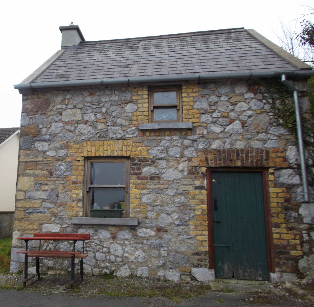
Photos of Flagmount

")


")
Flagmount Weather

Predicción: Light rain
Temperatura: 2.2°
Humedad: 97%
Hora actual: 12:00 AM
Amanece: 07:51 AM
Anochece: 05:45 PM
Blue Ball, Ireland
Latitude: 53.2167 // Longitude: -7.61667
Photos of Blue Ball


Blue Ball Weather

Predicción: Snow
Temperatura: 1.5°
Humedad: 94%
Hora actual: 12:00 AM
Amanece: 07:48 AM
Anochece: 05:41 PM


