
Distance between  Errill and
  Drumkeeran
92.72 mi Straight Distance
110.62 mi Driving Distance
2 hours 53 mins Estimated Driving Time
The straight distance between Errill (Laois) and Drumkeeran (Leitrim) is 92.72 mi, but the driving distance is 110.62 mi.
It takes 2 hours 53 mins to go from Errill to Drumkeeran.
Driving directions from Errill to Drumkeeran
Distance in kilometers
Straight distance: 149.19 km. Route distance: 177.98 km
Errill, Ireland
Latitude: 52.856 // Longitude: -7.6795
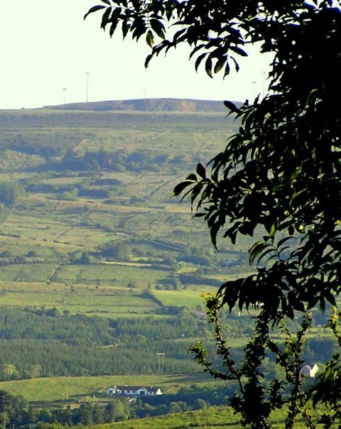
Photos of Errill


Errill Weather

Forecast: Clear sky
Temperature: 18.0°
Humidity: 40%
Sun info not available
Drumkeeran, Ireland
Latitude: 54.1694 // Longitude: -8.14266
Photos of Drumkeeran


Drumkeeran Weather
Forecast: Clear sky
Temperature: 18.0°
Humidity: 40%
Sun info not available


