
Distance between  Effin and
  Tynagh
55.27 mi Straight Distance
80.27 mi Driving Distance
1 hour 53 mins Estimated Driving Time
The straight distance between Effin (Limerick) and Tynagh (Galway) is 55.27 mi, but the driving distance is 80.27 mi.
It takes to go from Effin to Tynagh.
Driving directions from Effin to Tynagh
Distance in kilometers
Straight distance: 88.93 km. Route distance: 129.16 km
Effin, Ireland
Latitude: 52.3653 // Longitude: -8.63012
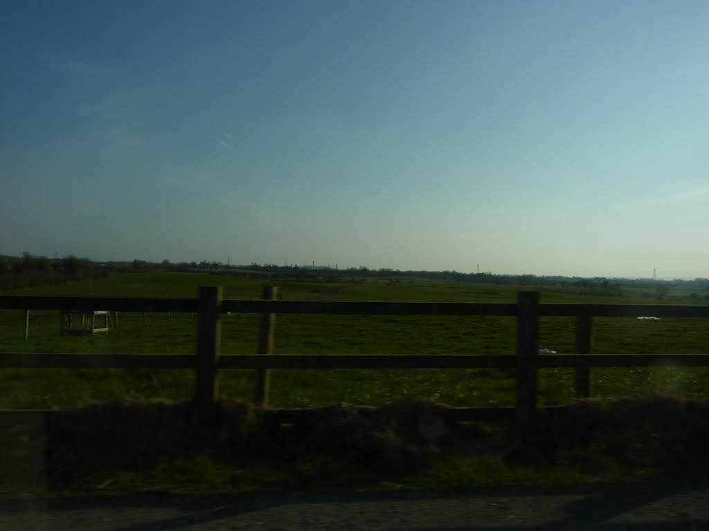
Photos of Effin
, Ireland")


Effin Weather

Forecast: Overcast clouds
Temperature: 6.5°
Humidity: 96%
Current time: 02:11 PM
Sunrise: 07:48 AM
Sunset: 05:49 PM
Tynagh, Ireland
Latitude: 53.15 // Longitude: -8.37364
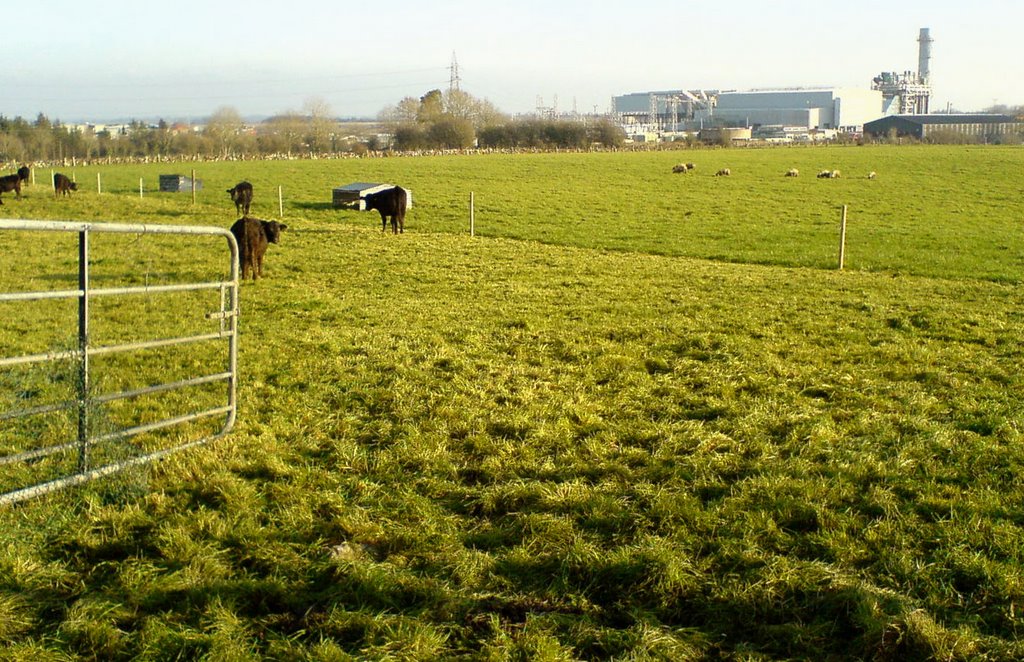
Photos of Tynagh


 – the Big Wood. This splendid valley is dominated by Kylemore Abbey. The Castle was built in 1864-1871 by Englishman Mitchell Henry as a token of love for his wife, Margaret. It is now an Abbey, run by Benedictine nuns")

Tynagh Weather
Forecast: Overcast clouds
Temperature: 7.0°
Humidity: 95%
Current time: 01:00 AM
Sunrise: 07:48 AM
Sunset: 05:46 PM


