
Distance between  Drumkeeran and
  Raphoe
53.33 mi Straight Distance
69.72 mi Driving Distance
1 hour 42 mins Estimated Driving Time
The straight distance between Drumkeeran (Leitrim) and Raphoe (Donegal) is 53.33 mi, but the driving distance is 69.72 mi.
It takes to go from Drumkeeran to Raphoe.
Driving directions from Drumkeeran to Raphoe
Distance in kilometers
Straight distance: 85.80 km. Route distance: 112.18 km
Drumkeeran, Ireland
Latitude: 54.1694 // Longitude: -8.14266
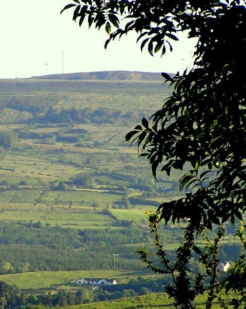
Photos of Drumkeeran


Drumkeeran Weather

Predicción: Cielo claro
Temperatura: 18.0°
Humedad: 40%
Hora actual: 12:00 AM
Amanece: 07:56 AM
Anochece: 05:36 PM
Raphoe, Ireland
Latitude: 54.8739 // Longitude: -7.59944
Photos of Raphoe


Raphoe Weather
Predicción: Cielo claro
Temperatura: 18.0°
Humedad: 40%
Hora actual: 09:35 PM
Amanece: 07:56 AM
Anochece: 05:32 PM


