
Distance between  Drumkeeran and
  Farranfore
149.81 mi Straight Distance
197.03 mi Driving Distance
4 hours 19 mins Estimated Driving Time
The straight distance between Drumkeeran (Leitrim) and Farranfore (Kerry) is 149.81 mi, but the driving distance is 197.03 mi.
It takes to go from Drumkeeran to Farranfore.
Driving directions from Drumkeeran to Farranfore
Distance in kilometers
Straight distance: 241.05 km. Route distance: 317.01 km
Drumkeeran, Ireland
Latitude: 54.1694 // Longitude: -8.14266
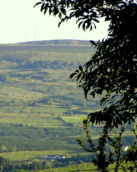
Photos of Drumkeeran


Drumkeeran Weather

Forecast: Overcast clouds
Temperature: 4.2°
Humidity: 99%
Current time: 12:00 AM
Sunrise: 07:41 AM
Sunset: 05:50 PM
Farranfore, Ireland
Latitude: 52.172 // Longitude: -9.55051
Photos of Farranfore


Farranfore Weather
Forecast: Overcast clouds
Temperature: 7.3°
Humidity: 87%
Current time: 06:34 PM
Sunrise: 07:43 AM
Sunset: 06:00 PM


