
Distance between  Drumkeeran and
  Drogheda
79.07 mi Straight Distance
100.95 mi Driving Distance
2 hours 24 mins Estimated Driving Time
The straight distance between Drumkeeran (Leitrim) and Drogheda (Louth) is 79.07 mi, but the driving distance is 100.95 mi.
It takes 2 hours 24 mins to go from Drumkeeran to Drogheda.
Driving directions from Drumkeeran to Drogheda
Distance in kilometers
Straight distance: 127.22 km. Route distance: 162.43 km
Drumkeeran, Ireland
Latitude: 54.1694 // Longitude: -8.14266
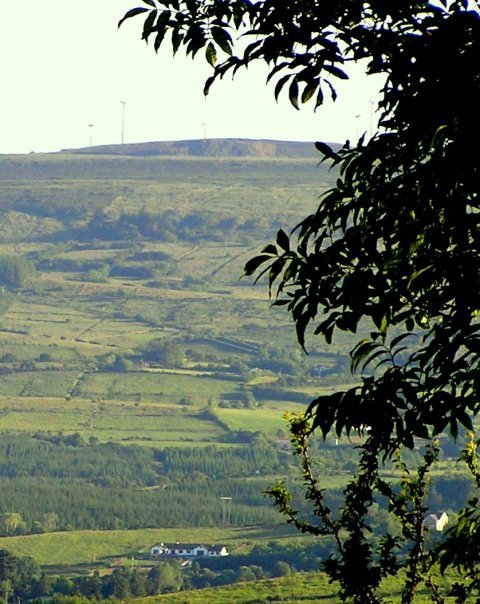
Photos of Drumkeeran


Drumkeeran Weather

Forecast: Overcast clouds
Temperature: 2.8°
Humidity: 93%
Sun info not available
Drogheda, Ireland
Latitude: 53.7179 // Longitude: -6.3561
Photos of Drogheda


Drogheda Weather
Forecast: Overcast clouds
Temperature: 3.3°
Humidity: 83%
Current time: 06:11 AM
Sunrise: 06:42 AM
Sunset: 06:27 PM


