
Distance between  Drum and
  Carlow
96.44 mi Straight Distance
129.06 mi Driving Distance
2 hours 47 mins Estimated Driving Time
The straight distance between Drum (Monaghan) and Carlow (Carlow) is 96.44 mi, but the driving distance is 129.06 mi.
It takes to go from Drum to Carlow.
Driving directions from Drum to Carlow
Distance in kilometers
Straight distance: 155.18 km. Route distance: 207.66 km
Drum, Ireland
Latitude: 54.1039 // Longitude: -7.14337
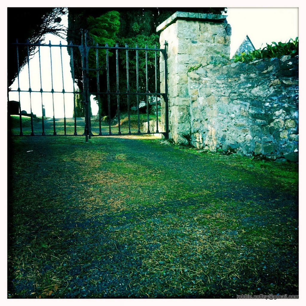
Photos of Drum


Drum Weather

Predicción: Snow
Temperatura: 1.3°
Humedad: 97%
Hora actual: 07:27 PM
Amanece: 07:48 AM
Anochece: 05:36 PM
Carlow, Ireland
Latitude: 52.719 // Longitude: -6.85037
Photos of Carlow


Carlow Weather

Predicción: Light rain
Temperatura: 3.6°
Humedad: 97%
Hora actual: 07:27 PM
Amanece: 07:43 AM
Anochece: 05:39 PM


