
Distance between  Drogheda and
  Ballycarney
78.94 mi Straight Distance
108.17 mi Driving Distance
2 hours 4 mins Estimated Driving Time
The straight distance between Drogheda (Louth) and Ballycarney (Wexford) is 78.94 mi, but the driving distance is 108.17 mi.
It takes 2 hours 4 mins to go from Drogheda to Ballycarney.
Driving directions from Drogheda to Ballycarney
Distance in kilometers
Straight distance: 127.01 km. Route distance: 174.05 km
Drogheda, Ireland
Latitude: 53.7179 // Longitude: -6.3561
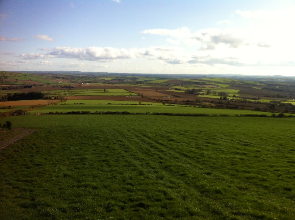
Photos of Drogheda


Drogheda Weather

Forecast: Overcast clouds
Temperature: 3.3°
Humidity: 83%
Current time: 05:28 AM
Sunrise: 06:42 AM
Sunset: 06:27 PM
Ballycarney, Ireland
Latitude: 52.5827 // Longitude: -6.57135
Photos of Ballycarney


Ballycarney Weather

Forecast: Scattered clouds
Temperature: 4.3°
Humidity: 79%
Current time: 05:28 AM
Sunrise: 06:43 AM
Sunset: 06:28 PM


