
Distance between  Dooniver and
  Tang
Tang
93.75 mi Straight Distance
119.02 mi Driving Distance
2 hours 58 mins Estimated Driving Time
The straight distance between Dooniver (Mayo) and Tang (Westmeath) is 93.75 mi, but the driving distance is 119.02 mi.
It takes to go from Dooniver to Tang.
Driving directions from Dooniver to Tang
Distance in kilometers
Straight distance: 150.85 km. Route distance: 191.51 km
Dooniver, Ireland
Latitude: 53.999 // Longitude: -9.95024
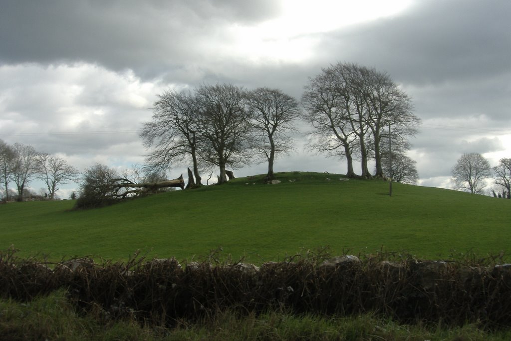
Photos of Dooniver


Dooniver Weather

Forecast: Heavy intensity rain
Temperature: 7.5°
Humidity: 73%
Current time: 12:00 AM
Sunrise: 07:55 AM
Sunset: 05:52 PM
Tang, Ireland
Latitude: 53.5352 // Longitude: -7.79276
Photos of Tang


Tang Weather

Forecast: Scattered clouds
Temperature: 4.1°
Humidity: 91%
Current time: 05:42 AM
Sunrise: 07:45 AM
Sunset: 05:44 PM


