
Distance between  Derrybrien and
  Rakestreet
75.87 mi Straight Distance
97.54 mi Driving Distance
2 hours 15 mins Estimated Driving Time
The straight distance between Derrybrien (Galway) and Rakestreet (Mayo) is 75.87 mi, but the driving distance is 97.54 mi.
It takes 2 hours 15 mins to go from Derrybrien to Rakestreet.
Driving directions from Derrybrien to Rakestreet
Distance in kilometers
Straight distance: 122.08 km. Route distance: 156.94 km
Derrybrien, Ireland
Latitude: 53.0658 // Longitude: -8.61151
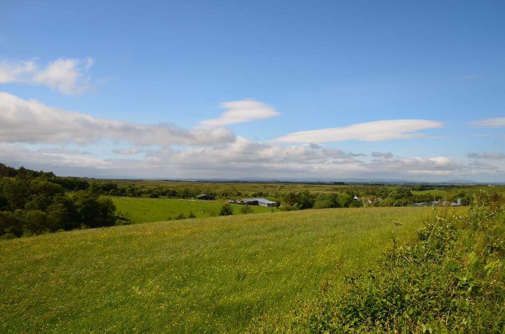
Photos of Derrybrien


Derrybrien Weather

Forecast: Clear sky
Temperature: 18.0°
Humidity: 40%
Sun info not available
Rakestreet, Ireland
Latitude: 54.0712 // Longitude: -9.35514
Photos of Rakestreet


Rakestreet Weather
Forecast: Clear sky
Temperature: 18.0°
Humidity: 40%
Current time: 08:43 AM
Sunrise: 07:06 AM
Sunset: 06:29 PM


