
Distance between  Cloonfush and
  Clashmore
114.09 mi Straight Distance
147 mi Driving Distance
3 hours 18 mins Estimated Driving Time
The straight distance between Cloonfush (Galway) and Clashmore (Waterford) is 114.09 mi, but the driving distance is 147 mi.
It takes 3 hours 18 mins to go from Cloonfush to Clashmore.
Driving directions from Cloonfush to Clashmore
Distance in kilometers
Straight distance: 183.57 km. Route distance: 236.53 km
Cloonfush, Ireland
Latitude: 53.5153 // Longitude: -8.9011
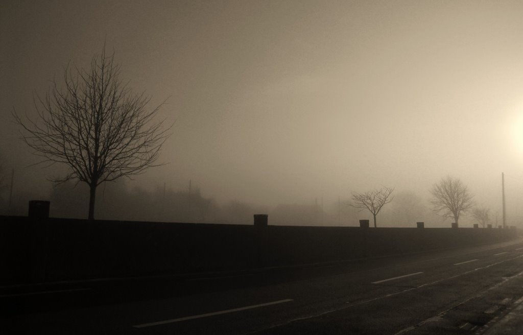
Photos of Cloonfush


 Victim of Twin Tower Attack NEW YORK September 11th 2001.")


Cloonfush Weather

Forecast: Light rain
Temperature: 10.4°
Humidity: 87%
Current time: 09:51 PM
Sunrise: 06:59 AM
Sunset: 06:31 PM
Clashmore, Ireland
Latitude: 52 // Longitude: -7.81667
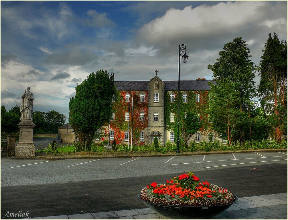
Photos of Clashmore
")


Clashmore Weather
Forecast: Light rain
Temperature: 10.4°
Humidity: 96%
Current time: 09:51 PM
Sunrise: 06:54 AM
Sunset: 06:28 PM


