
Distance between  Claddaghduff and
  Elphin
82.14 mi Straight Distance
106.06 mi Driving Distance
2 hours 26 mins Estimated Driving Time
The straight distance between Claddaghduff (Galway) and Elphin (Roscommon) is 82.14 mi, but the driving distance is 106.06 mi.
It takes 2 hours 26 mins to go from Claddaghduff to Elphin.
Driving directions from Claddaghduff to Elphin
Distance in kilometers
Straight distance: 132.16 km. Route distance: 170.65 km
Claddaghduff, Ireland
Latitude: 53.541 // Longitude: -10.1357
Photos of Claddaghduff


Claddaghduff Weather

Forecast: Moderate rain
Temperature: 9.0°
Humidity: 94%
Sun info not available
Elphin, Ireland
Latitude: 53.8523 // Longitude: -8.19785
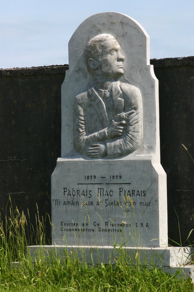
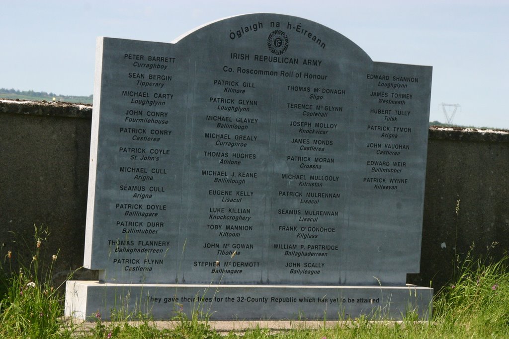
Photos of Elphin


Elphin Weather
Forecast: Moderate rain
Temperature: 8.4°
Humidity: 89%
Current time: 04:18 PM
Sunrise: 06:52 AM
Sunset: 06:32 PM


