
Distance between  Castlelyons and
  Rathconrath
103.93 mi Straight Distance
123.81 mi Driving Distance
2 hours 47 mins Estimated Driving Time
The straight distance between Castlelyons (Cork) and Rathconrath (Longford) is 103.93 mi, but the driving distance is 123.81 mi.
It takes 2 hours 47 mins to go from Castlelyons to Rathconrath.
Driving directions from Castlelyons to Rathconrath
Distance in kilometers
Straight distance: 167.23 km. Route distance: 199.21 km
Castlelyons, Ireland
Latitude: 52.0892 // Longitude: -8.23417
Photos of Castlelyons


Castlelyons Weather

Forecast: Clear sky
Temperature: 18.0°
Humidity: 40%
Current time: 09:05 AM
Sunrise: 06:58 AM
Sunset: 06:28 PM
Rathconrath, Ireland
Latitude: 53.5667 // Longitude: -7.76667
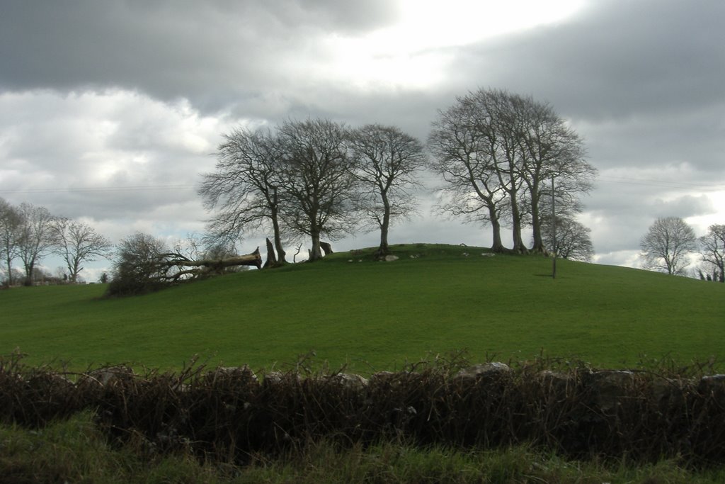
Photos of Rathconrath


Rathconrath Weather
Forecast: Clear sky
Temperature: 18.0°
Humidity: 40%
Current time: 09:05 AM
Sunrise: 06:57 AM
Sunset: 06:25 PM


