
Distance between  Castlelyons and
  Oilgate
75.66 mi Straight Distance
96.89 mi Driving Distance
2 hours 12 mins Estimated Driving Time
The straight distance between Castlelyons (Cork) and Oilgate (Wexford) is 75.66 mi, but the driving distance is 96.89 mi.
It takes to go from Castlelyons to Oilgate.
Driving directions from Castlelyons to Oilgate
Distance in kilometers
Straight distance: 121.74 km. Route distance: 155.90 km
Castlelyons, Ireland
Latitude: 52.0892 // Longitude: -8.23417
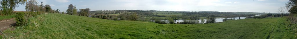
Photos of Castlelyons


Castlelyons Weather

Predicción: Clear sky
Temperatura: 1.9°
Humedad: 91%
Hora actual: 10:58 PM
Amanece: 07:49 AM
Anochece: 05:44 PM
Oilgate, Ireland
Latitude: 52.424 // Longitude: -6.53089
Photos of Oilgate


Oilgate Weather

Predicción: Few clouds
Temperatura: 1.8°
Humedad: 93%
Hora actual: 10:58 PM
Amanece: 07:43 AM
Anochece: 05:36 PM


