
Distance between  Carrigans and
  Ross Port
105.33 mi Straight Distance
151.65 mi Driving Distance
3 hours 47 mins Estimated Driving Time
The straight distance between Carrigans (Donegal) and Ross Port (Mayo) is 105.33 mi, but the driving distance is 151.65 mi.
It takes to go from Carrigans to Ross Port.
Driving directions from Carrigans to Ross Port
Distance in kilometers
Straight distance: 169.47 km. Route distance: 244.01 km
Carrigans, Ireland
Latitude: 54.9512 // Longitude: -7.42829
Photos of Carrigans

 -Killea-1994")


Carrigans Weather

Forecast: Overcast clouds
Temperature: 4.5°
Humidity: 61%
Current time: 07:44 PM
Sunrise: 07:45 AM
Sunset: 05:42 PM
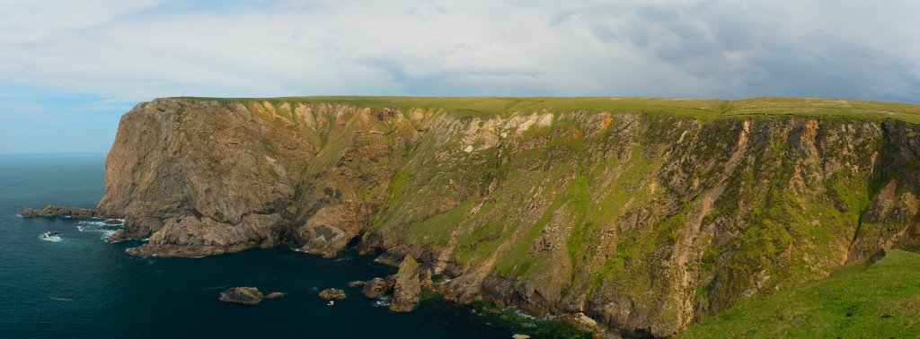
Ross Port, Ireland
Latitude: 54.2853 // Longitude: -9.7968
Photos of Ross Port


Ross Port Weather
Forecast: Overcast clouds
Temperature: 5.3°
Humidity: 67%
Current time: 07:44 PM
Sunrise: 07:53 AM
Sunset: 05:53 PM


