
Distance between  Carrigans and
  Rathconrath
96.63 mi Straight Distance
114.88 mi Driving Distance
2 hours 41 mins Estimated Driving Time
The straight distance between Carrigans (Donegal) and Rathconrath (Longford) is 96.63 mi, but the driving distance is 114.88 mi.
It takes to go from Carrigans to Rathconrath.
Driving directions from Carrigans to Rathconrath
Distance in kilometers
Straight distance: 155.48 km. Route distance: 184.85 km
Carrigans, Ireland
Latitude: 54.9512 // Longitude: -7.42829
Photos of Carrigans

 -Killea-1994")


Carrigans Weather

Predicción: Snow
Temperatura: 1.4°
Humedad: 88%
Hora actual: 06:45 PM
Amanece: 07:51 AM
Anochece: 05:35 PM
Rathconrath, Ireland
Latitude: 53.5667 // Longitude: -7.76667
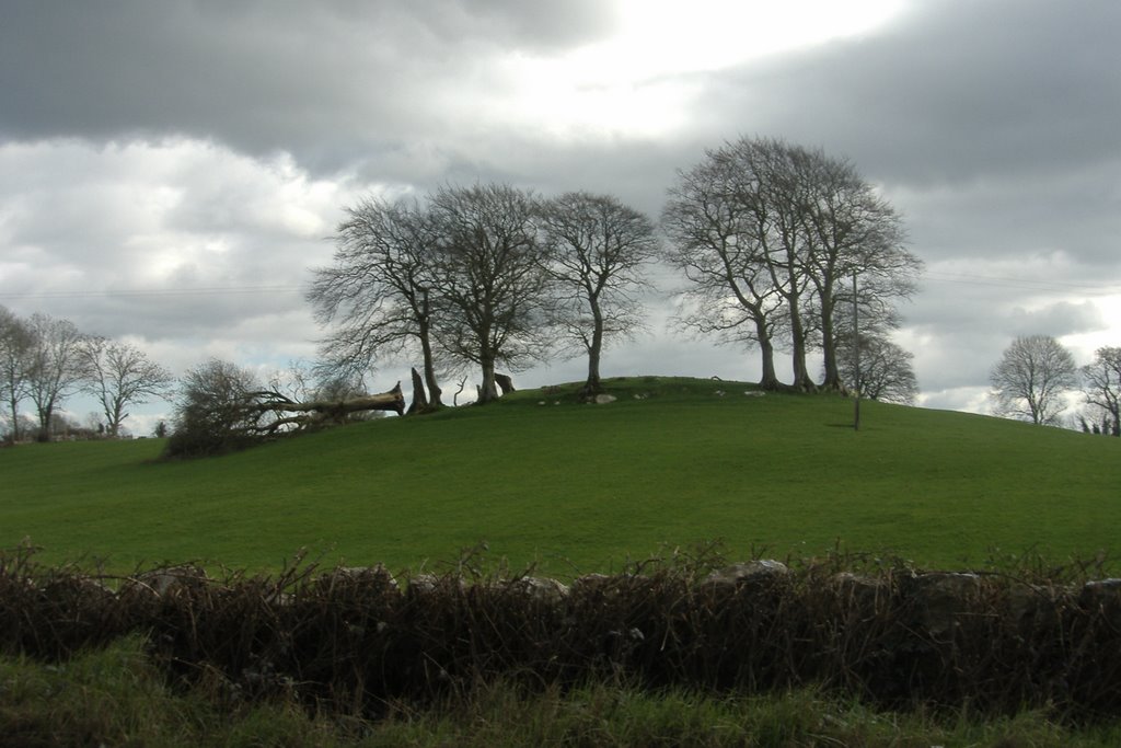
Photos of Rathconrath


Rathconrath Weather
Predicción: Snow
Temperatura: 1.8°
Humedad: 96%
Hora actual: 06:45 PM
Amanece: 07:49 AM
Anochece: 05:40 PM


